Projects
Whakatīwai Papakāinga Project
Working with Iwi and Ministry of Housing and Urban Development
 Back to Projects list
Scope of Work:
Topographical survey to inform the feasibility of proposed dwelling developments. This data is to act as a guide for future funding, investigations and physical works.
Locality:
Pukekohe Branch
Key person:
Nick Hall , Lu Wang & Tessa Rhodes
Whakatīwai Papakāinga Project
Working with Iwi and Ministry of Housing and Urban Development
Birch conducted a topographical survey and feasibility study for a Papakāinga project in Whakatīwai, supporting Iwi and Ministry planning for 7–10 dwellings and communal spaces.
Birch have had the opportunity to contribute our skills and resources to assist with a feasibility study for a Papakāinga project.
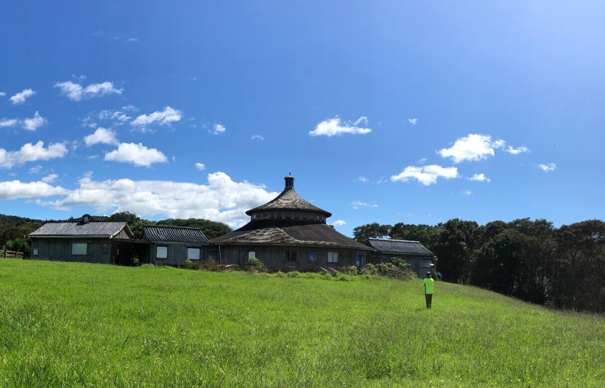
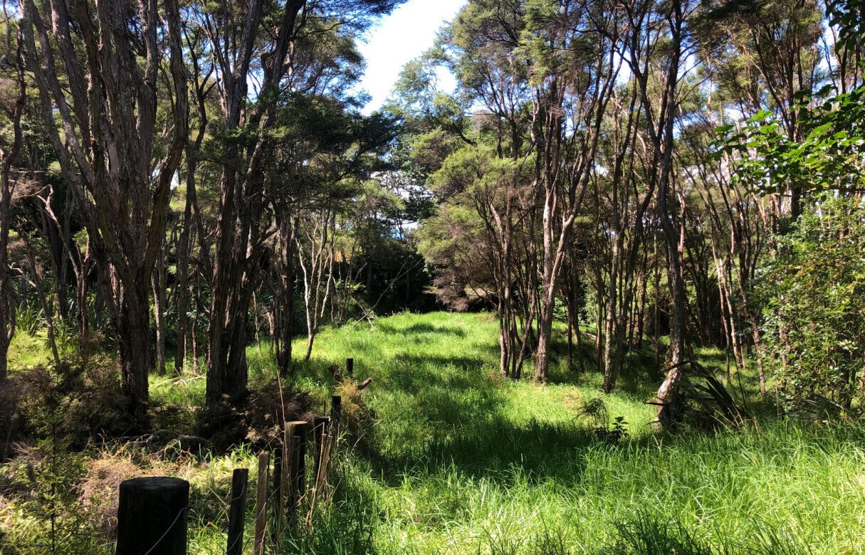
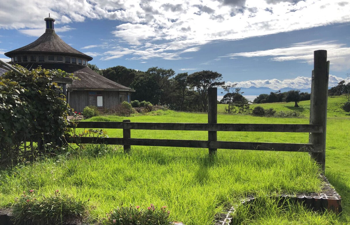
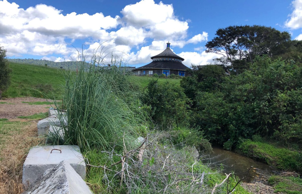
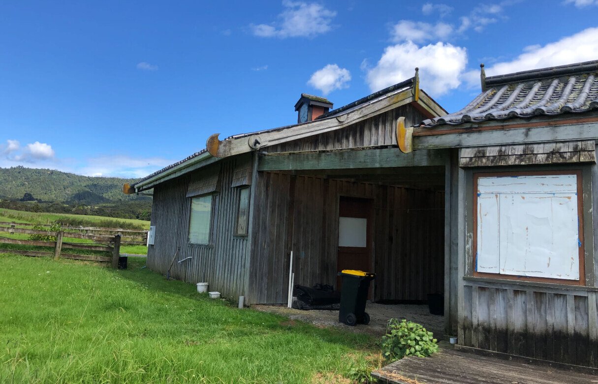
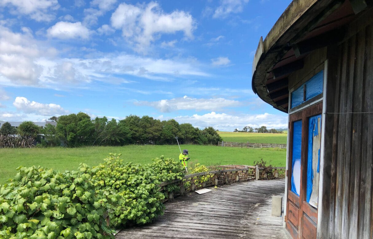
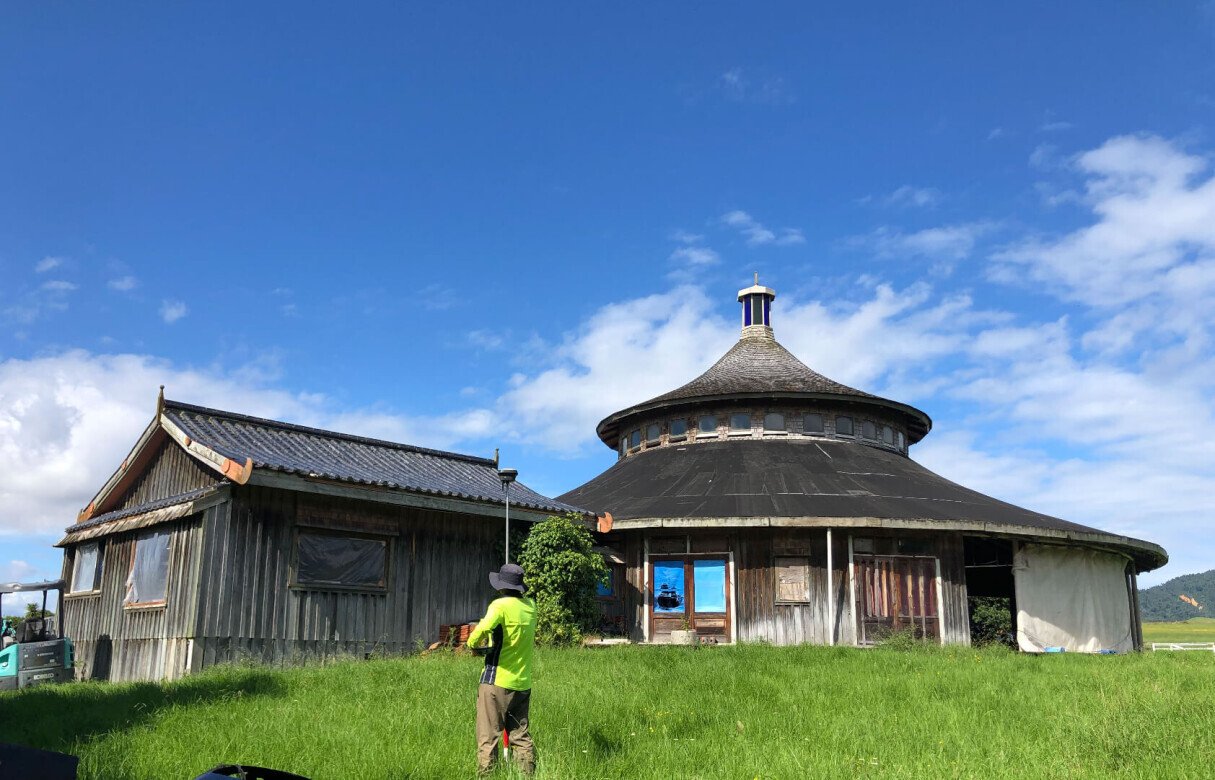
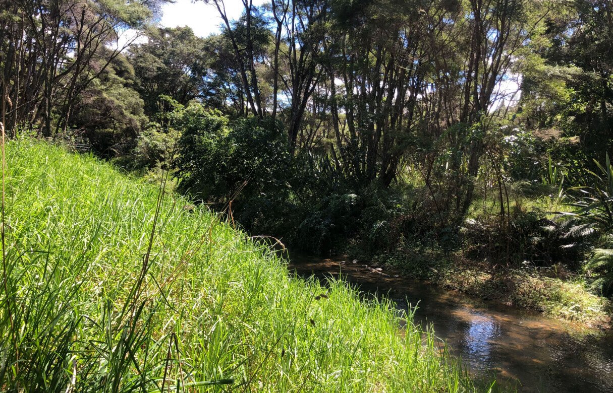
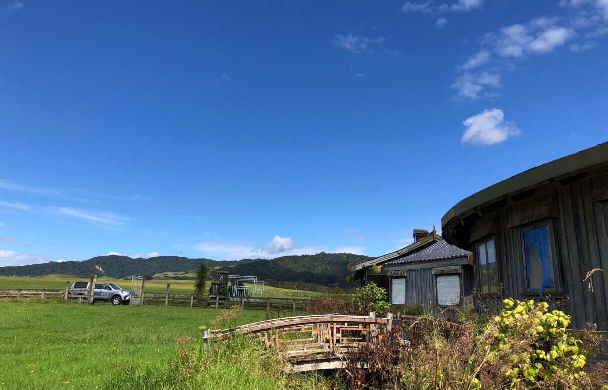
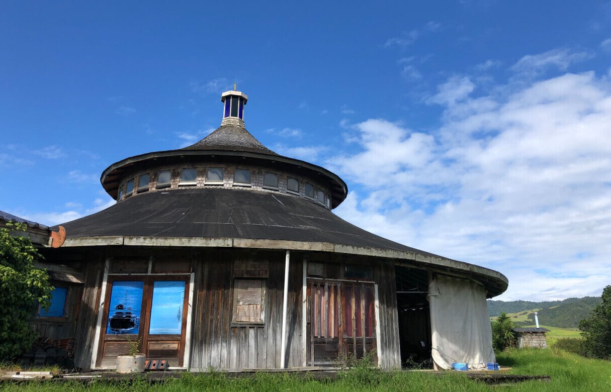
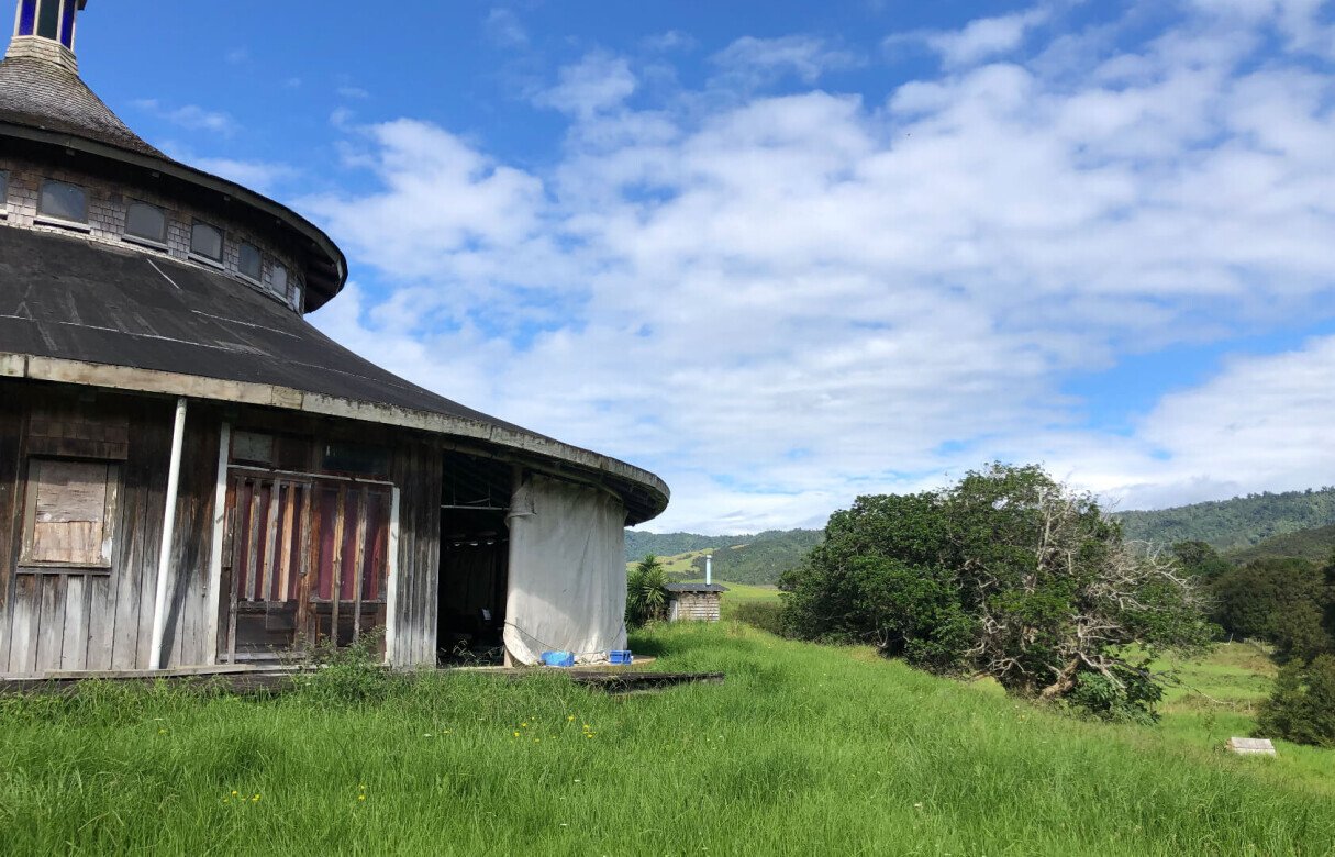
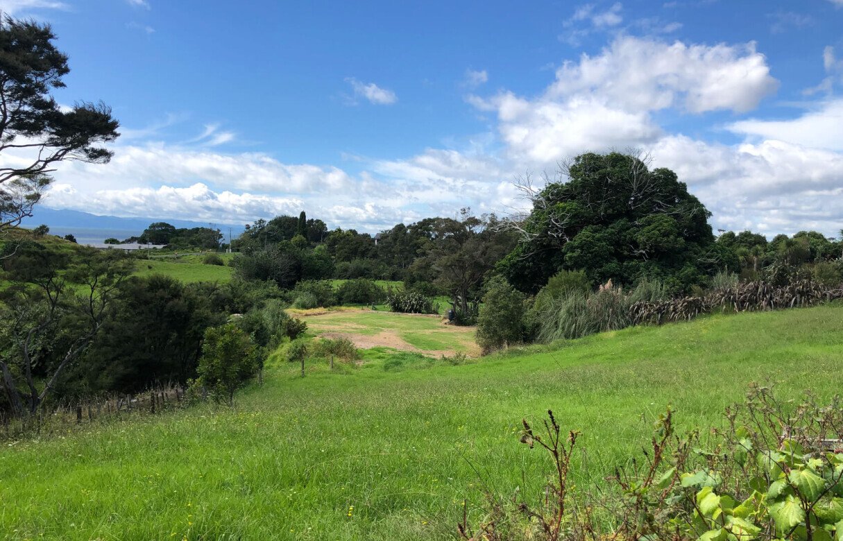
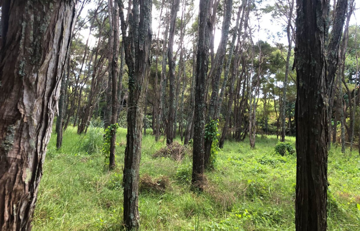
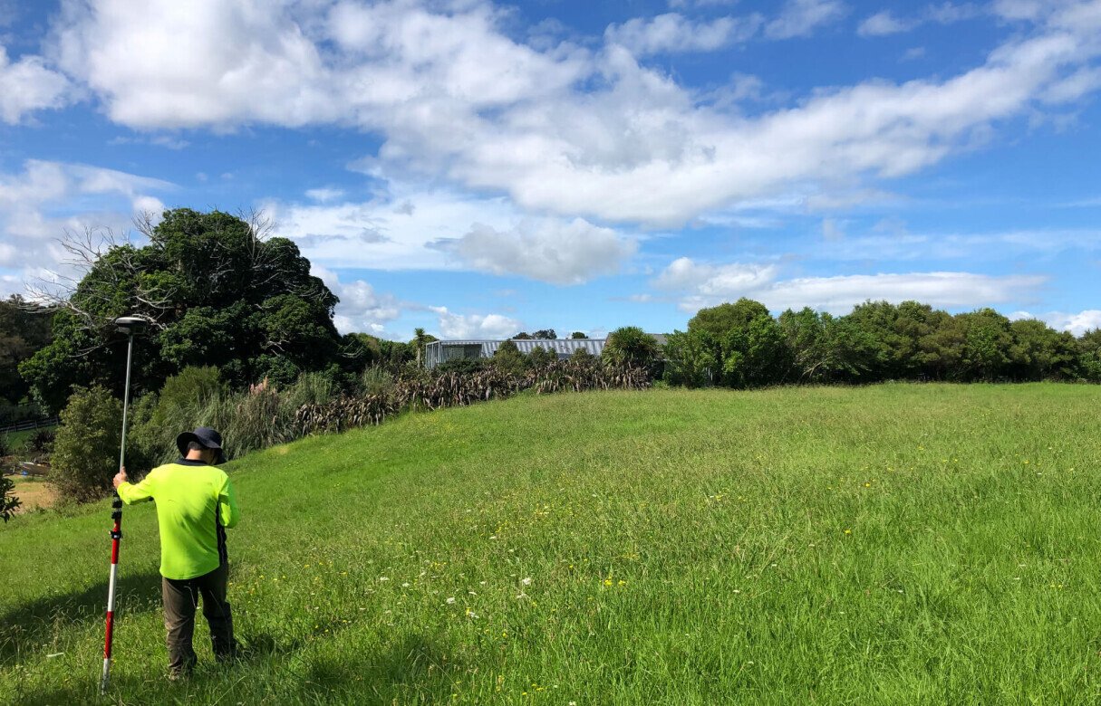
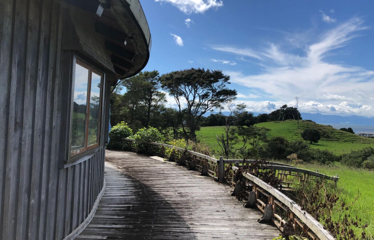
Our staff were engaged to undertake a comprehensive topographical survey of a beautiful property in Whakatīwai. The attached photos demonstrate some of the picturesque sites our Surveyors have the pleasure of working on.
The Ministry will be encorporating the data from our topographical plan to assist with their ongoing investigations to determine the feasibility of constructing 7-10 dwellings and communal spaces.
This work is considered a feasibilty study in principle and as such, is only used as an initial guide to reference when considering funding, future investigations and physical works. Information will continue to be gathered from clients, professionals and along side consultations with whānau to determine the most desirable outcomes.
Frequently Asked Questions
What is a Papakāinga development?
A Papakāinga development is a housing project on Māori ancestral land that provides homes for whānau while supporting cultural connections, shared spaces, and long-term community wellbeing.
Why is a topographical survey important for a feasibility study?
A topographical survey maps the land's natural and built features, including elevations, vegetation, drainage, and existing structures. This information helps determine whether a site is suitable for future development.
What is the purpose of a feasibility study for a housing project?
A feasibility study evaluates whether a proposed development is practical by considering factors such as site conditions, infrastructure, planning requirements, costs, and potential constraints before detailed design begins.
Why is community consultation important in Papakāinga planning?
Consulting with whānau and other stakeholders helps ensure the development reflects community priorities, cultural values, housing needs, and long-term aspirations while supporting informed decision-making.
Does a feasibility study guarantee that a project will proceed?
No. A feasibility study is an early-stage assessment that identifies opportunities and challenges. Additional investigations, funding approvals, design work, and regulatory processes are typically required before construction can begin.
What information is gathered after a feasibility study is completed?
Following a feasibility study, further information may include geotechnical investigations, infrastructure assessments, environmental studies, planning approvals, detailed design, and cost estimates to support the next stages of the project.
