Projects
Amalgamation, Relocation & Subdivision
A staged boundary relocation, subdivision, amalgamation and protection of natural features.
 Back to Projects list
Scope of Work:
Stage boundary relocation
Completion:
14th October 2022
Locality:
Pukekohe Branch
Key person:
Toni Hall, Jeremy Davidson & Nick Hall
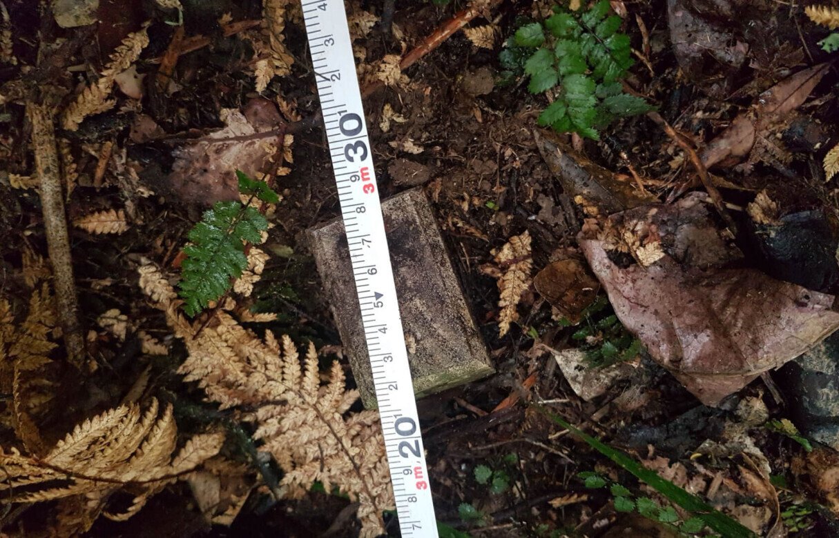

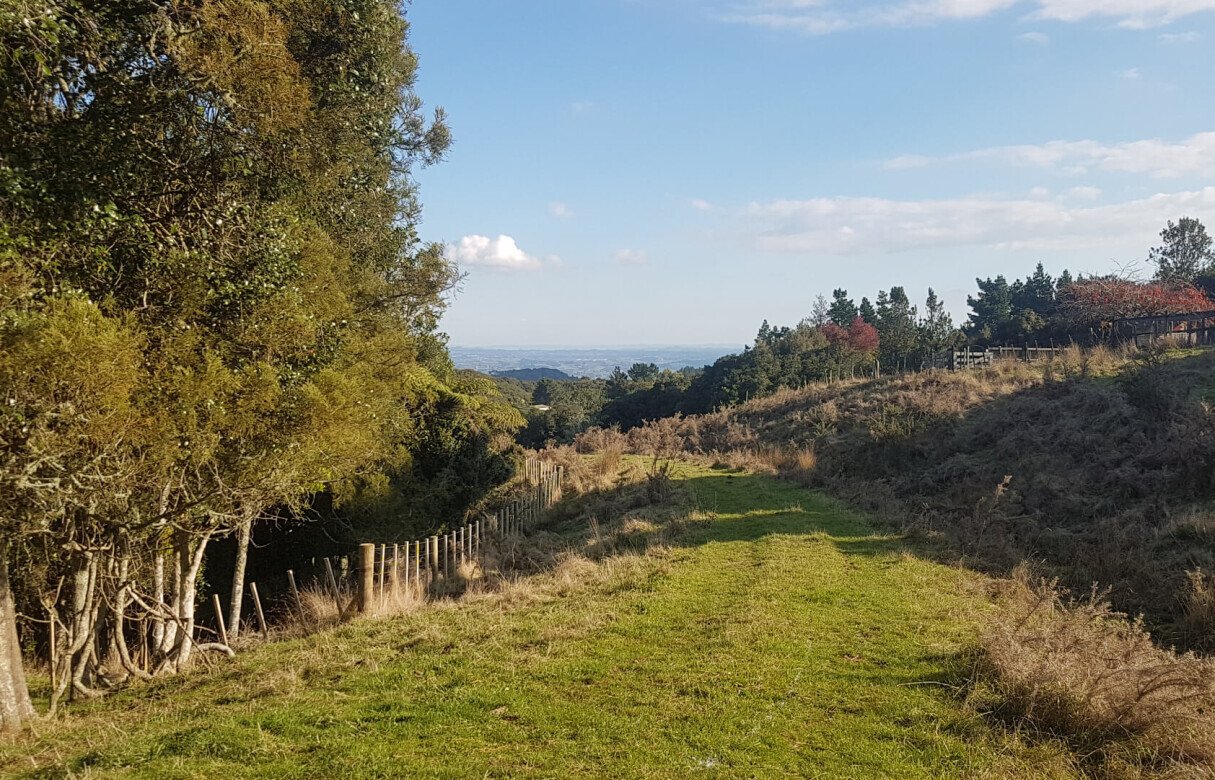
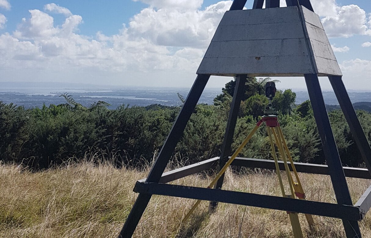

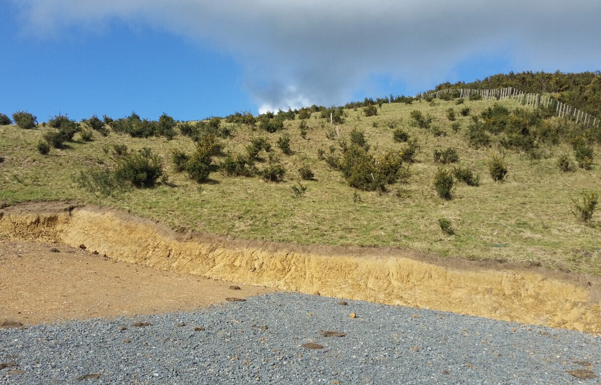
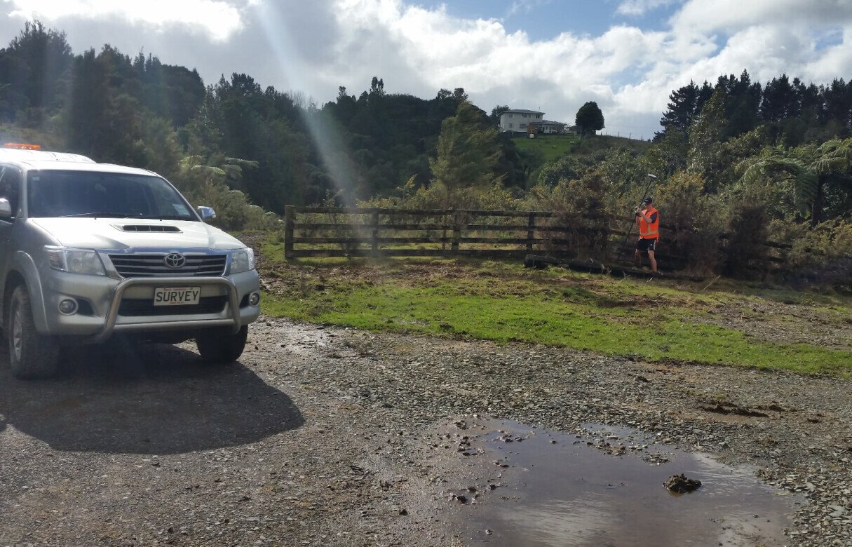
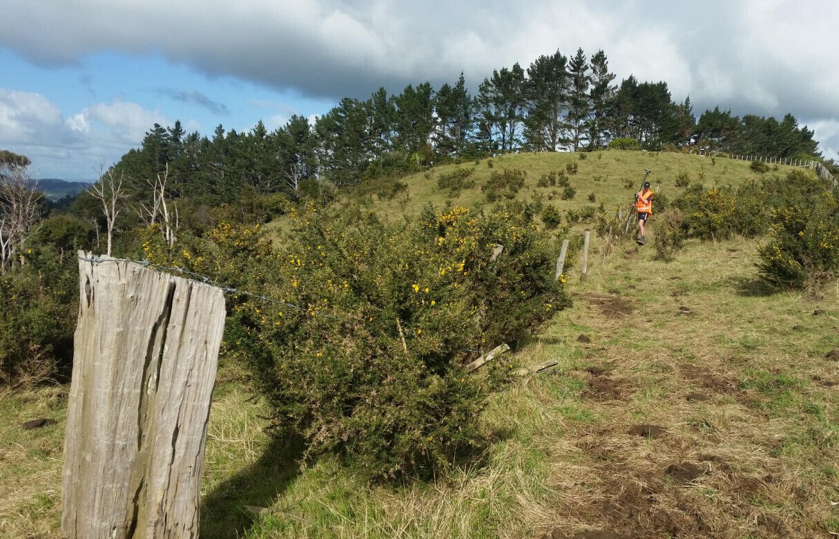

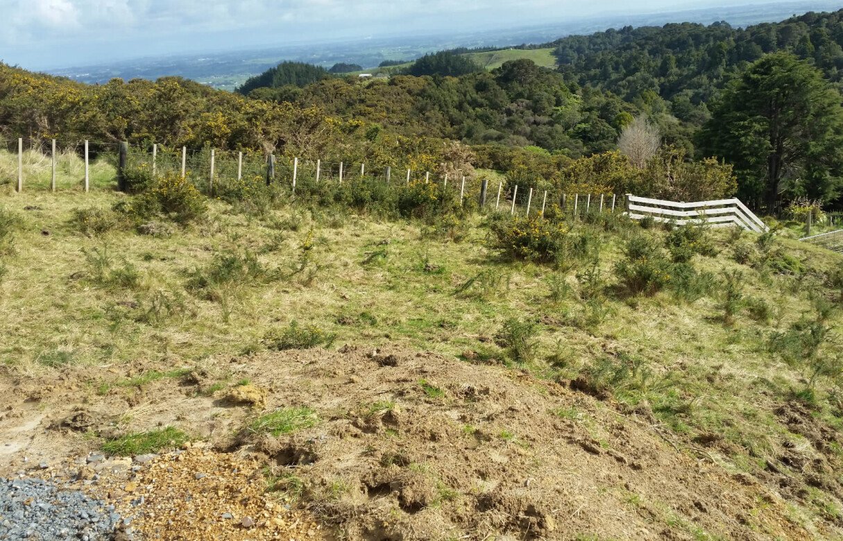

Amalgamation, Relocation & Subdivision
A staged boundary relocation, subdivision, amalgamation and protection of natural features.
This is a rural land development project in Pukekohe that repositions approved lots, creates farming and lifestyle blocks, and protects ecological and flood areas.
Situated a few kilometers south-east of Drury on Rural Production Zone land is a staged boundary relocation and subdivision which will create a large farming block and smaller lifestyle blocks.
This application sought to gain approval to relocate four approved lots within the farm and to partially subdivide with the intent of being purchased and amalgamated with a neighbouring property. These lots were previously approved for a different location within the farm that are now deemed inferior as the new locations offer more suitable access and rural lifestyle living opportunities.
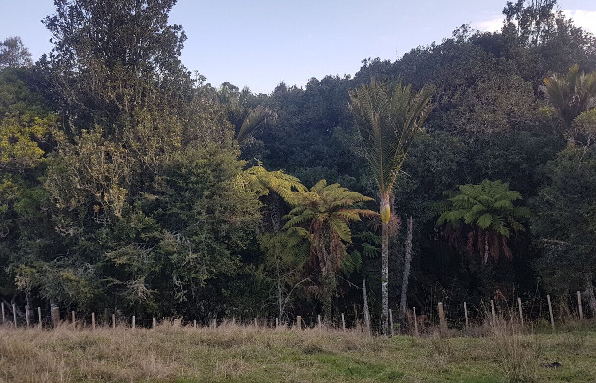
There are areas of Identified Significant Natural Features (ISNF) and Significant Ecological Areas (SEA's) that are required to be protected both physically and legally and will need to be fenced. The farm has varied topography, with gentle slopes to rolling land to moderately steep contours.
The site is zoned as Rural Production and holds a 1% AEP Flood Plain and an Overland Flow Path. Naturally, these are located within a defined gully and stream watercourse system which also features an existing pond. These will be uneffected by the subdivision and will be clear of all potential house and SBA sites.
Frequently Asked Questions
What is a staged boundary relocation in rural development?
A staged boundary relocation is a process where property boundaries are adjusted over time in planned phases. It allows landowners to optimise land use, improve access, and align subdivision layouts with long-term development goals.
Why are lot relocations sometimes required within a farm subdivision?
Lot relocations may be undertaken to position sections of land in more suitable locations based on access, terrain, or development potential, especially when earlier approved layouts no longer provide the best use of the property.
What is the purpose of amalgamating subdivided lots with neighbouring properties?
Amalgamation combines smaller lots into a single larger title under a different ownership structure. This can support more efficient land use, improved farming operations, or better alignment with neighbouring land management plans.
What are Identified Significant Natural Features (ISNF)?
Identified Significant Natural Features are specific areas within a landscape that have ecological, geological, or environmental importance. These areas are typically protected to preserve biodiversity and natural land values.
How do floodplains influence rural subdivision design?
Floodplain areas must be carefully managed to avoid building in high-risk zones. Subdivision layouts are designed to keep dwellings and infrastructure outside flood-prone areas while maintaining natural water flow paths.
Why is fencing required around ecological protection areas?
Fencing helps physically protect sensitive ecological areas from disturbance caused by livestock, vehicles, or construction activity, ensuring long-term conservation and compliance with environmental requirements.
