Projects
8 Lot Subdivision in Pukekohe's Countryside
Stage 1 & 2 requirements for an 8 lot subdivision
 Back to Projects list
Scope of Work:
A 2 stage discretionary subdivision that requires specialist geotechnical, ecological and landscaping reporting with particular focus of separation distances and specified building areas.
Completion:
14th April 2023
Locality:
Pukekohe Branch
Key person:
Nick Hall, Kevin He & Nico Siemelink
8 Lot Subdivision in Pukekohe's Countryside
Stage 1 & 2 requirements for an 8 lot subdivision
This 8 Lot Subdivision in Pukekohe's Countryside is a rural development project where Birch planned and designed eight new lots, managing ecological, geotechnical, and landscape considerations.
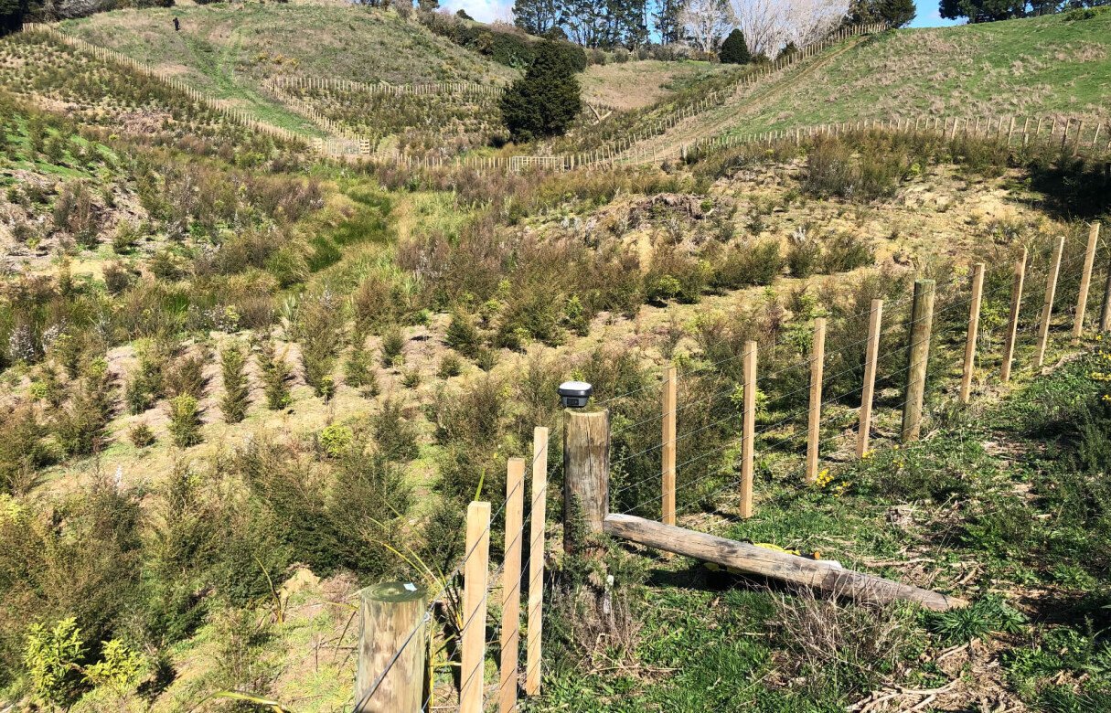
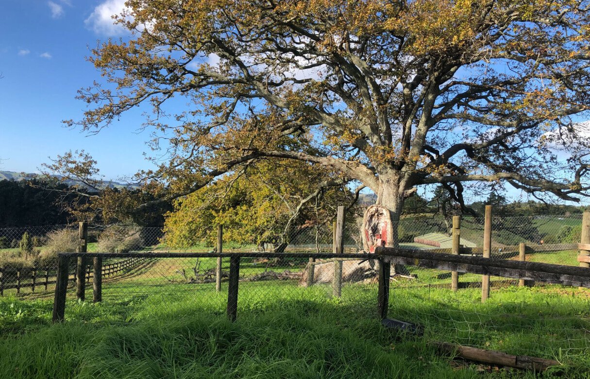
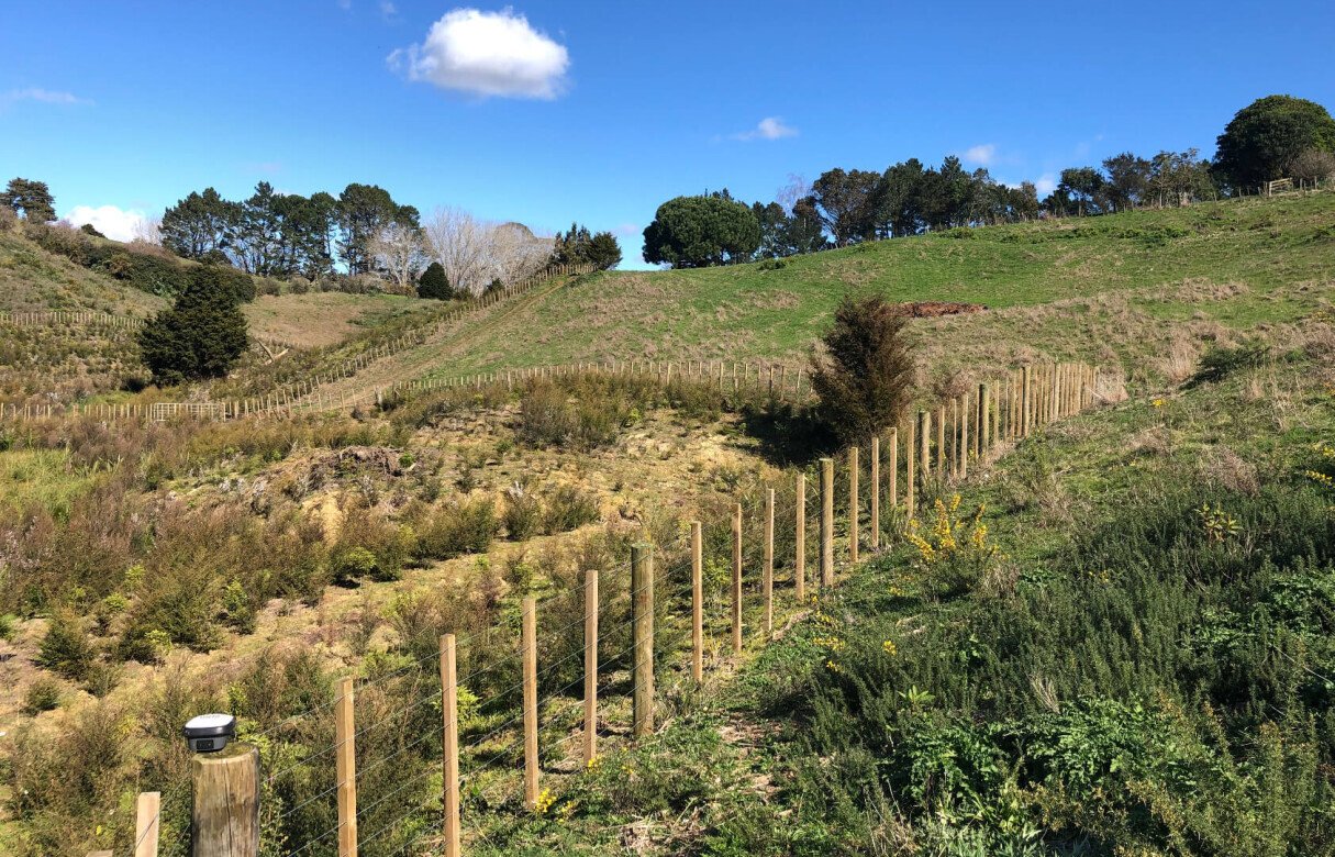
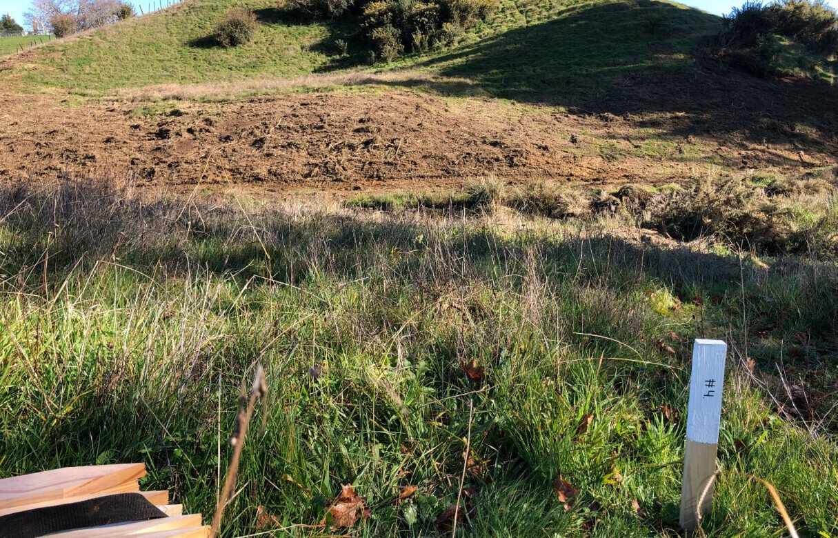
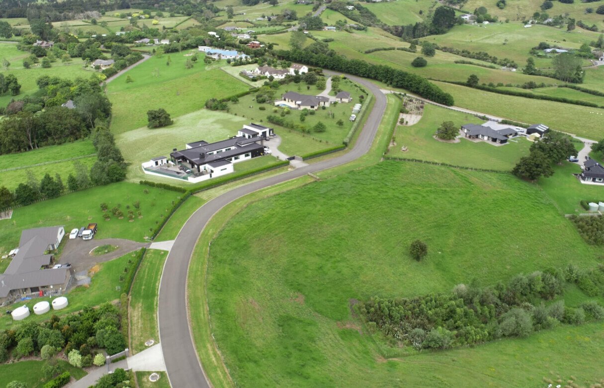
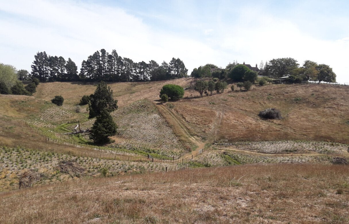
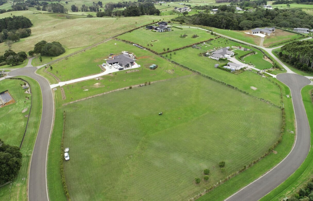
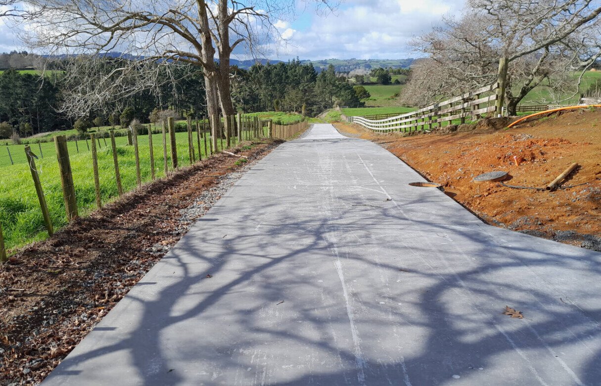
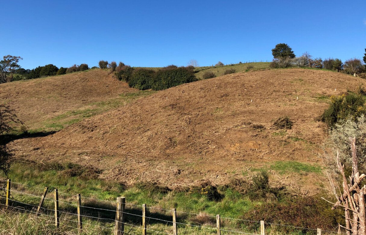
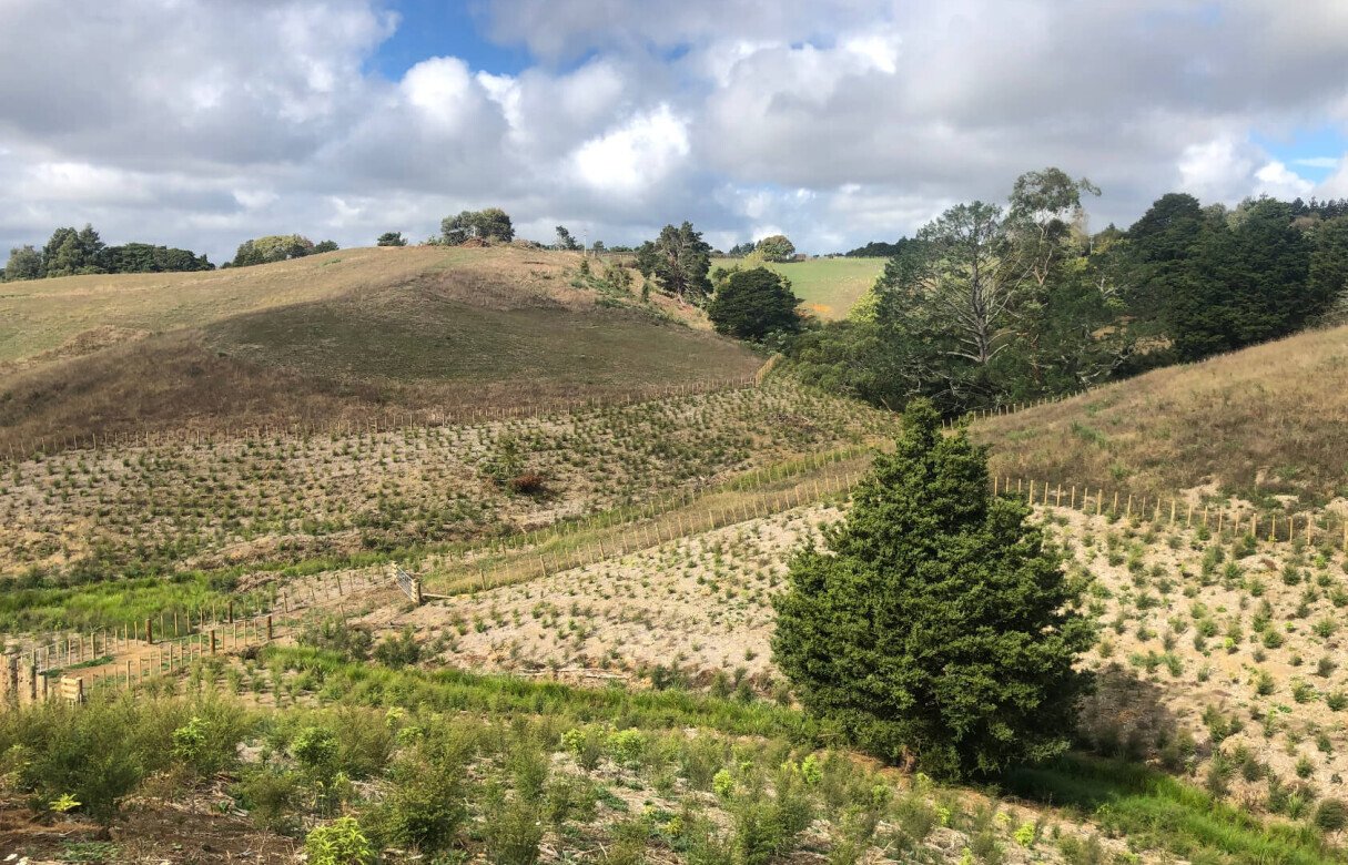
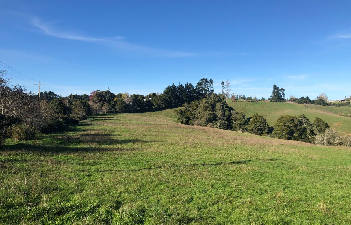
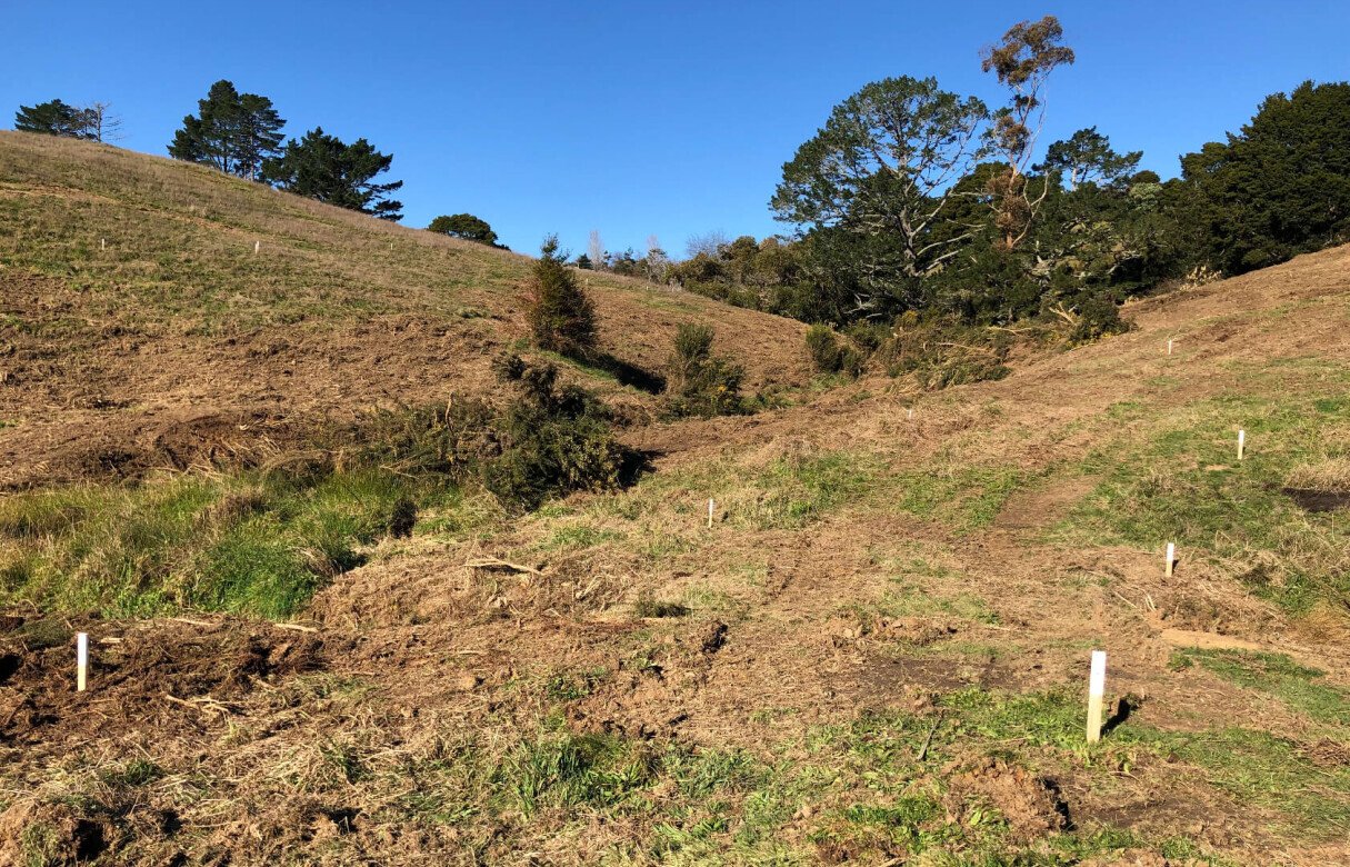
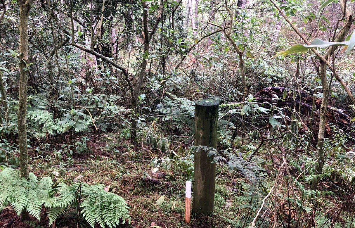
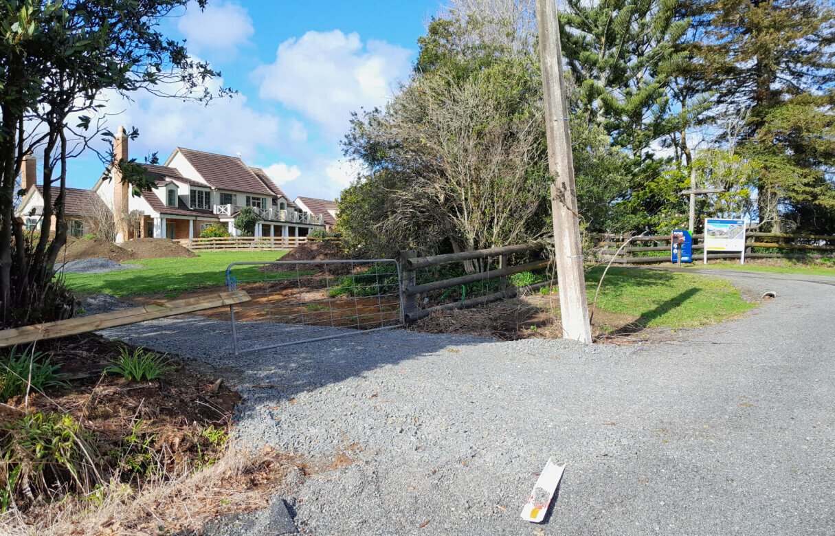
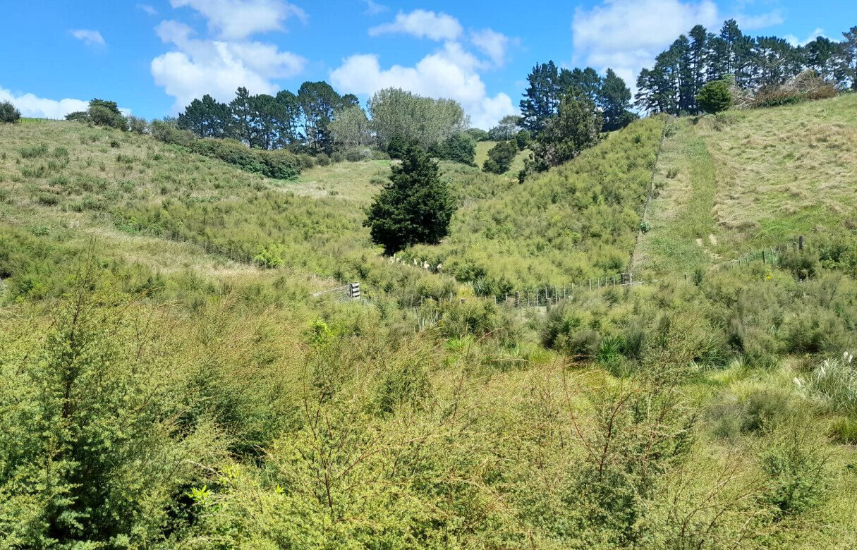
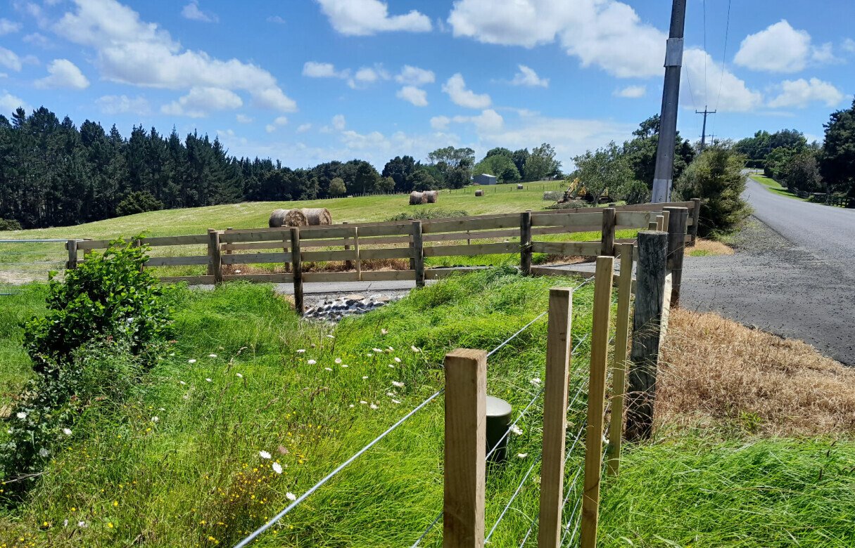
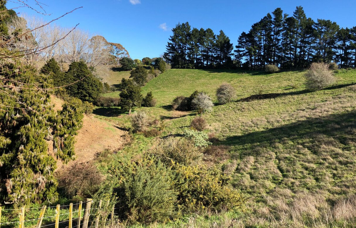
Within Pukekohes Countryside Living Zone, we have an extensive subdivision aiming to create a total of eight new lots. The land is considered to be in a desireable location with access to power and telecommunications and holds established native and exotic vegetation, grassed paddocks and a stream on its gently to moderately steep hills.
However, full subdivision development of the site in accordance with the rules and requirements of the Auckland Unitary Plan (AUP) is not likely due to the required separation distances from existing dwellings, proposed Specified Building Areas (SBA's) and road corridor offsets. The activity status for a full development subdivision of this property would therefore be a Discretionary Activity in the eyes of Council.
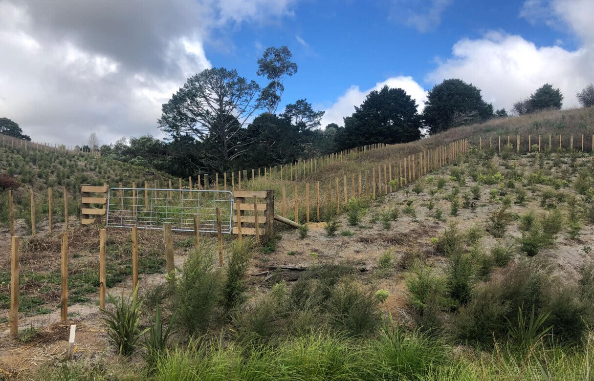
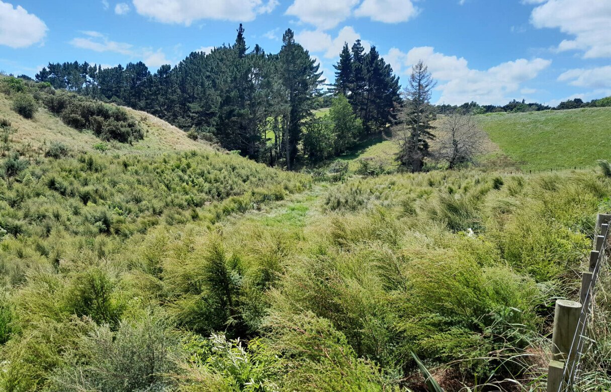
Collaborations with specialist geotechnicians, ecologists and landscape architects would need to accompany the planning applications. Geotechnical reports will confirm the SBA's for each site, earthworks and geotechnical development restrictions while also advising on wasterwater and stormwater disposal areas. Ecological reporting will note the stream corridor that runs through the site and will provide a restoration, planting, weeding and pest control plan. Landscape reporting will address the character of the sites and provide a mitigation response that addresses the seperation needed from existing dwellings, proposed SBA's and road corridor offsets.
We have provided 2 concept plans with consistent separation distances from proposed and existing dwellings but encouraged the gaining of written approval from the owners surrounding the lots where 100m offsets are not achieved. While considering site topography, existing fences and vegetations, we also provided our recommendations as to proposed SBA locations that we consider to be the most appropriate.
Frequently Asked Questions
What is a Countryside Living Zone in Auckland?
A Countryside Living Zone is a rural-residential zoning classification that allows for low-density housing while maintaining rural character, vegetation, and open space. It typically supports larger lots and controlled development outcomes.
What are Specified Building Areas (SBAs)?
Specified Building Areas are designated zones within a lot where buildings are permitted to be constructed. They help manage environmental effects, ensure suitable ground conditions, and maintain setbacks from sensitive features like streams or boundaries.
Why do some subdivisions require a Discretionary Activity consent?
A Discretionary Activity consent is required when a proposed development does not fully comply with district plan standards. It allows the council to assess environmental, design, and planning effects on a case-by-case basis.
Why are multiple specialist reports needed for rural subdivisions?
Specialist reports from geotechnical engineers, ecologists, and landscape architects help ensure the subdivision is safe, environmentally responsible, and visually appropriate. Each report addresses different site constraints and compliance requirements.
What role do geotechnical assessments play in subdivision design?
Geotechnical assessments evaluate soil stability, slope conditions, and ground suitability for building. They also inform infrastructure placement, drainage solutions, and the safe positioning of building platforms.
Why are stream corridors important in subdivision planning?
Stream corridors are protected to preserve natural water flow, reduce erosion, and maintain ecological habitats. Subdivision designs must often include buffer zones and restoration plans to safeguard these waterways.
