Projects
Submitting changes to subdivision resource consent
Effects of increasing Identified Development Areas
Scope of Work:
Subdivision Consent application change resulting in a minor increase in vegetation removal due to increased Identified Development Area and changes to Firebreak
Locality:
Tairua Branch
Key person:
Tim Simons & Kevin He

Submitting changes to subdivision resource consent
Effects of increasing Identified Development Areas
A variation to an existing subdivision consent in the Coromandel Ranges adjusts firebreaks and increases Identified Development Areas slightly while preserving ecological values, biodiversity, and site character.
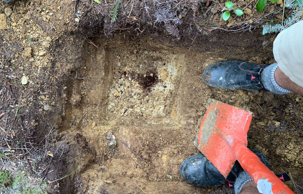
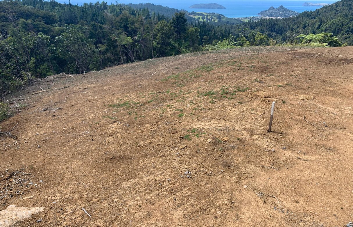
An application for a change to consent conditions of an existing, approved Subdivision Consent. The proposal has ammendments to firebreak conditions and is set to increase a pre-approved 2500m² Identified Development Areas (IDA) on Lots 4-10 to 3000m². This is a minimal adjustment as the parent lot is 200ha.
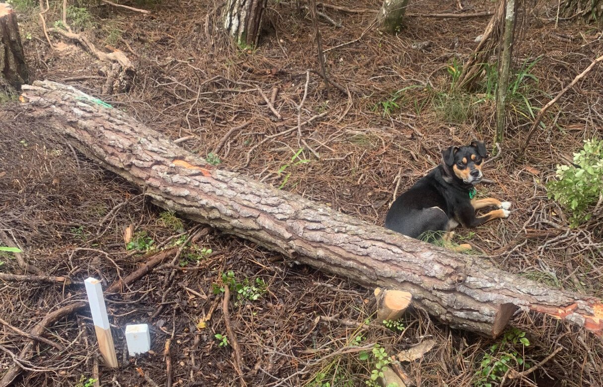
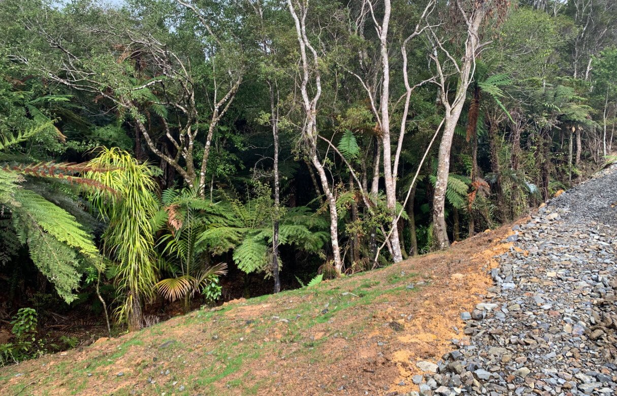
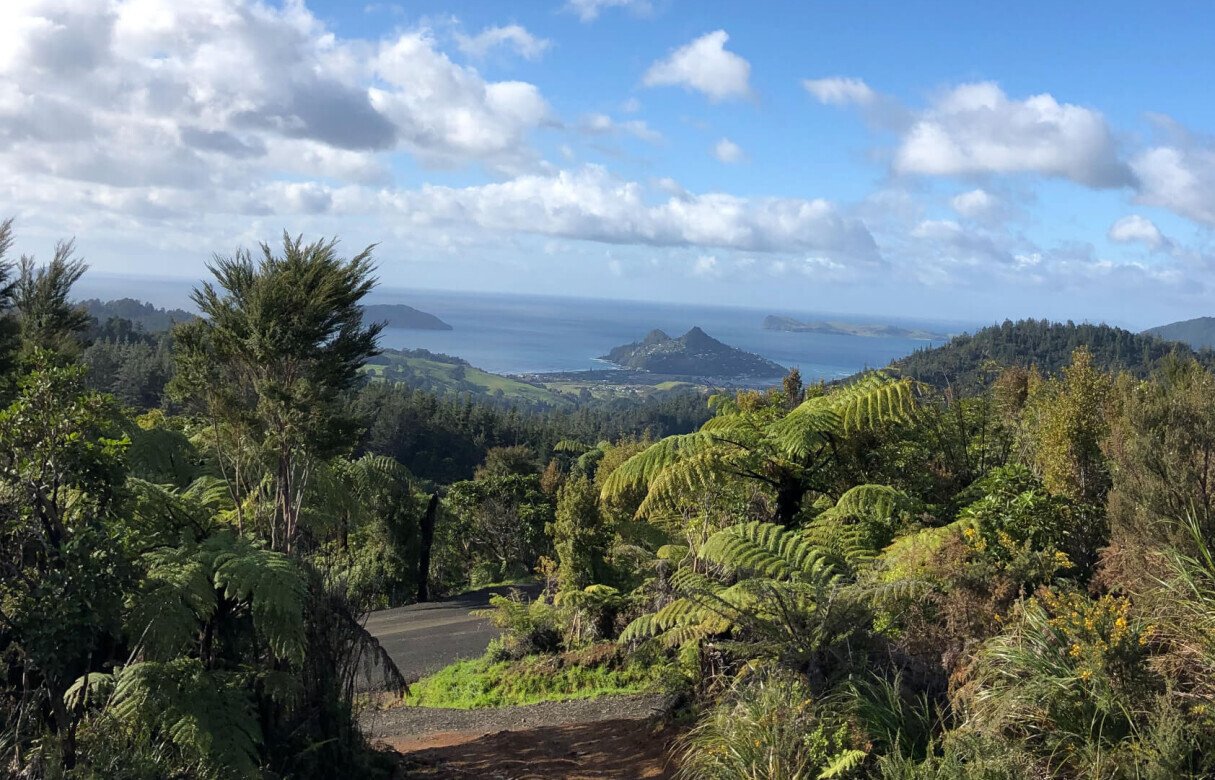
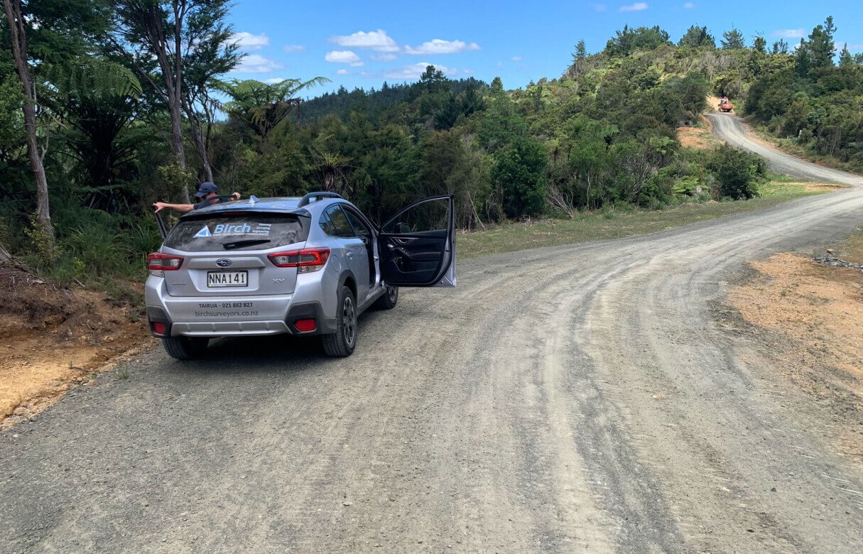
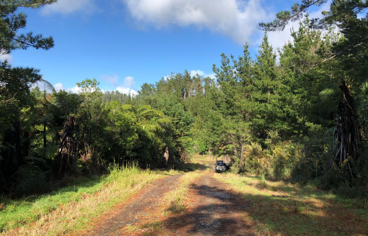
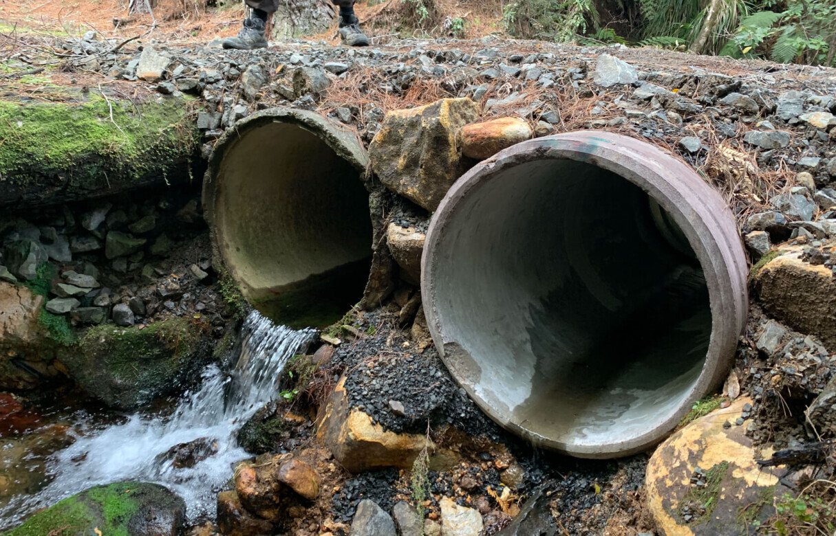
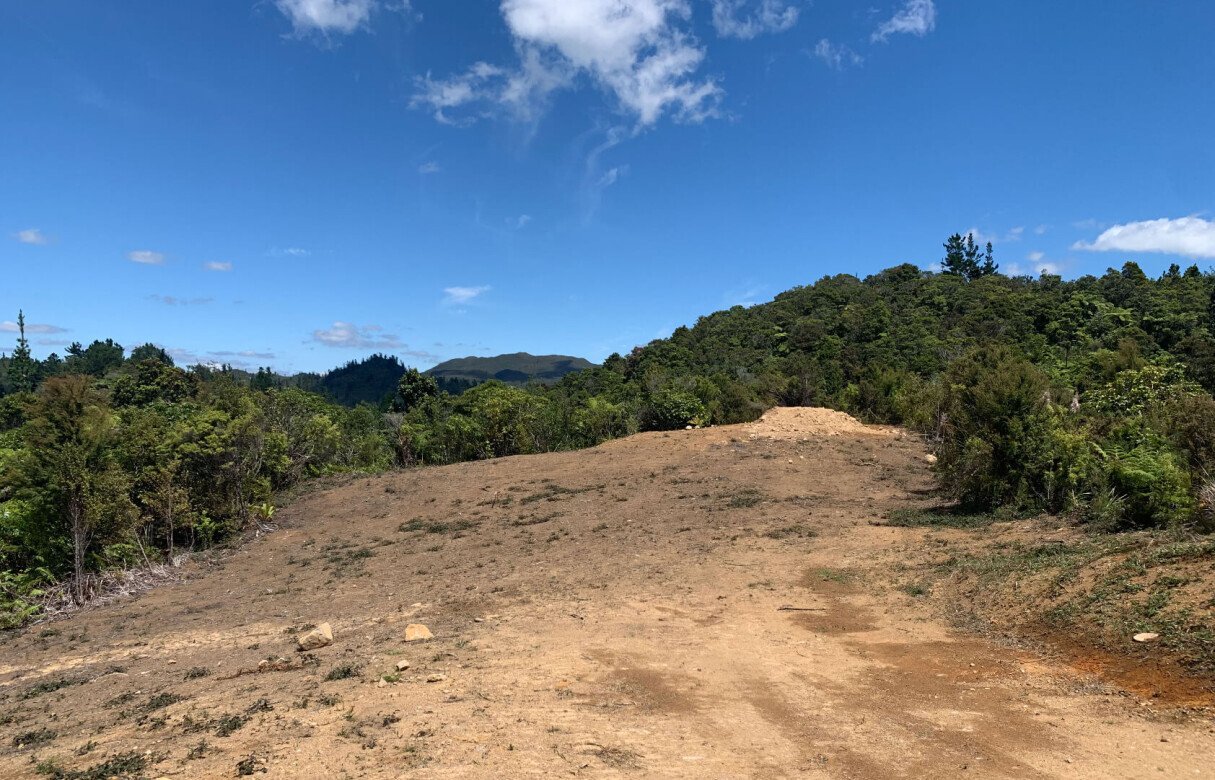
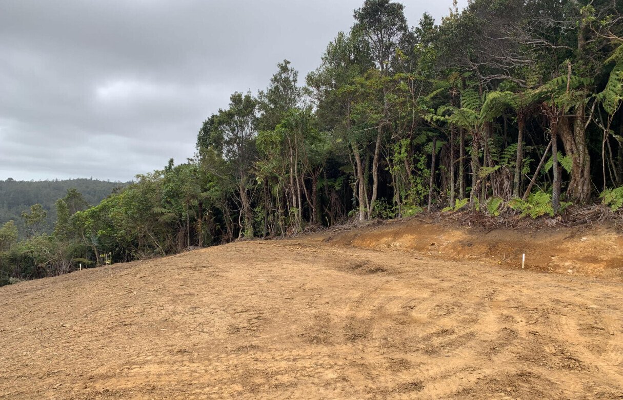
The site is located in the Coromandel Ranges, a few kilometers inland from Mt Paku Summit Tairua and contains an existing Queen Elizabeth II National Trust Open Space Covenant. The surrounding land is predominantly rural, native regenerative vegetation across the hills and valleys with the occasional residential property. The site itself is almost completely covered in dense, regenerating indigenous vegetation apart from a cleared right of way, accessways and generalised future building platforms for Lots 4-10. The site is characteristically mountainous with contours from around 160 - 360m, with two tributary streams and evidence of old logging tracks.
The underlying subdivision consent recognized the sites ecological and biodiversity values as significant and a number of conditions were imposed on the consent to maintain and protect these values. The proposed variation seeks to maintain these measures and while it may result in a minor increase in permitted vegetation clearance, it would have no affect to the overal ecological values associated with the original application as the site of vegetation clearance is not of high value. An ecological assessment determined that the vegetation with the greatest value is located within the steep tributary valleys rather than the ridges and knolls on which the IDAs are located.
The greatest threat to the sites biodiversity is the risk of fire. The revised fire break conditions and increased IDA area may result in the minor increase in permitted vegetation clearance but in doing so would enable the continued effective management of this risk. While some IDAs could potentially be visible from a distance due to their elevation and topography, the minor increase in vegetation clearance would not be discernible let alone impart any significant impact visually or on character and amenity.
Local iwi, DoC, Waka Kotahi and The QE II Trust were all consulted as part of original subdivision resource consent.