Projects
Boundary Relocation Subdivision
Separating lots and containing them within two zones
 Back to Projects list
Scope of Work:
Boundary adjustment between 4 contiguous titles located within the Rural and Industrial Zones
Locality:
Tairua Branch
Key person:
Tim Simons


Boundary Relocation Subdivision
Separating lots and containing them within two zones
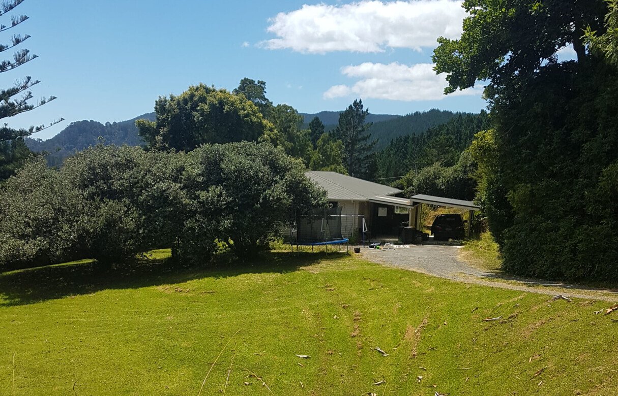
This Boundary Relocation Subdivision realigns four lots to match Industrial and Rural zones, keeping existing dwellings and land uses while improving layouts and reducing potential reverse sensitivity effects.
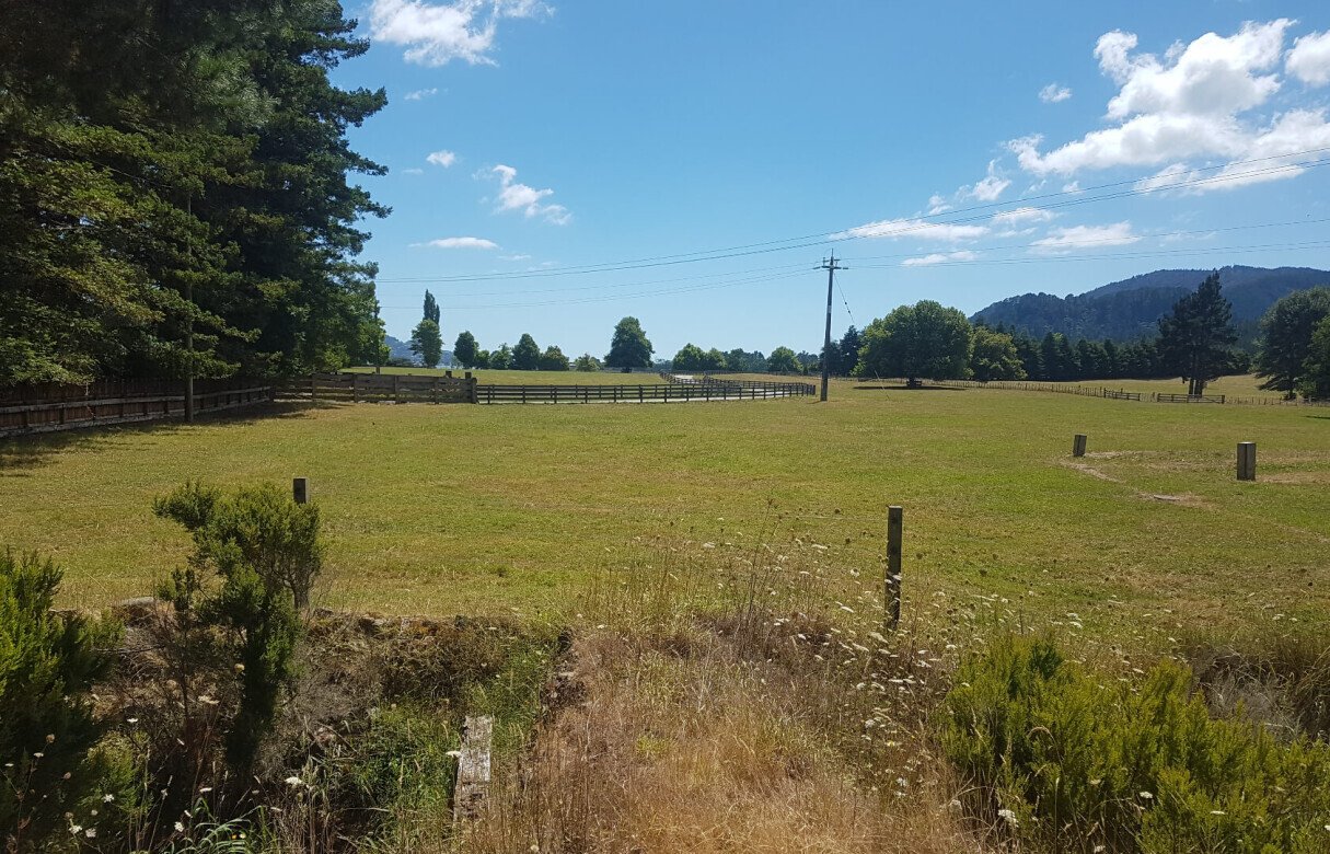
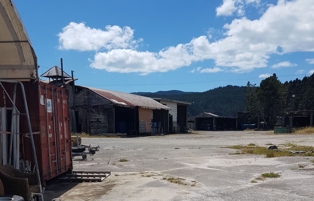
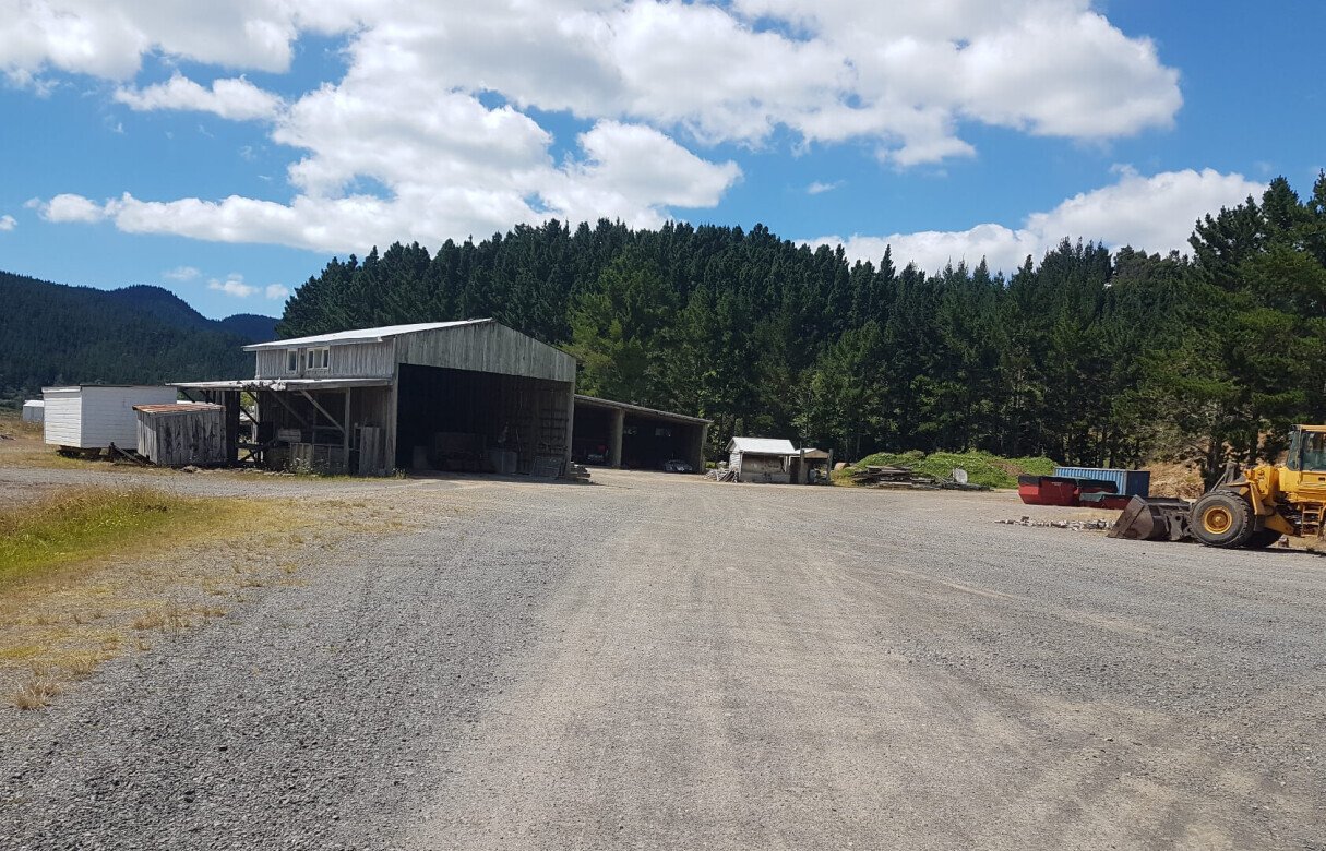
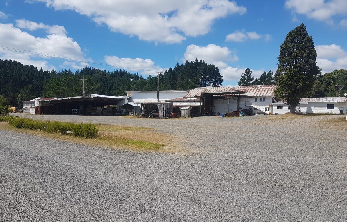
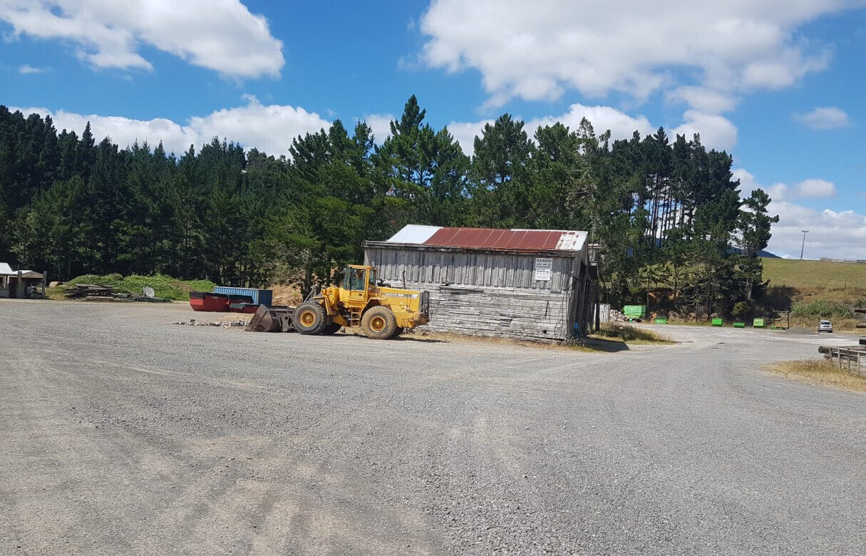
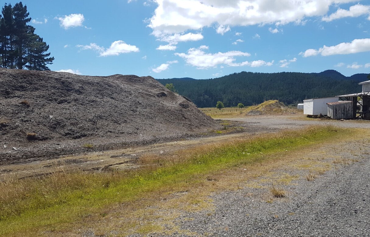
The current lot boundaries do not follow Zone Boundaries but will be adjusted to do so. The proposed boundary adjustment between four contiguous titles is to allow two lots (Lots 1 & 2) to be solely contained within the Industrial Zone and two lots (Lot 3 & 4) to be mostly contained within Rural Zone but with a small portion of Lot 4 to be located within the Industrial Zone to allow access to an existing dwelling. Most of the Industrial land is a result of an established timber mill. No additional lots or development rights are being created in association with the proposal. Lot 3 will be a medium sized lot and this will allow them to carry out the same rural activities they did prior to the proposal. Lot 4 will be a smaller lifestyle lot which will retain enough land to carry out small scale rural activities.
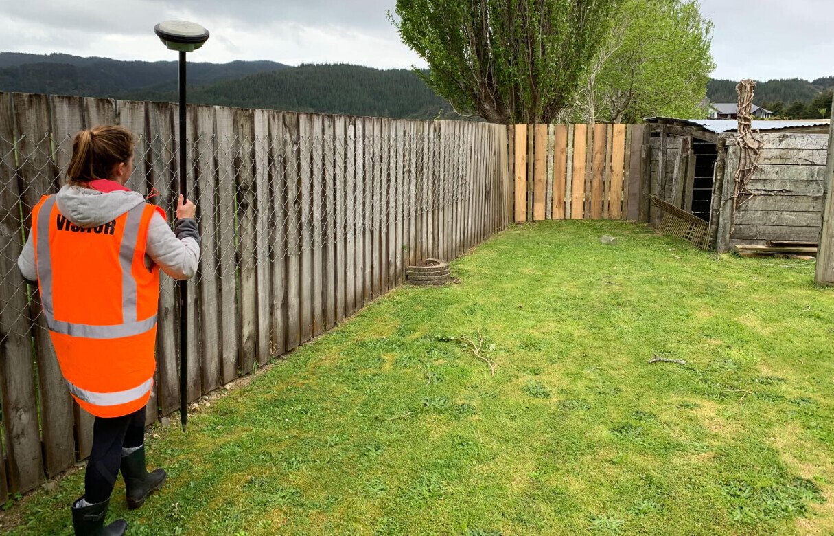
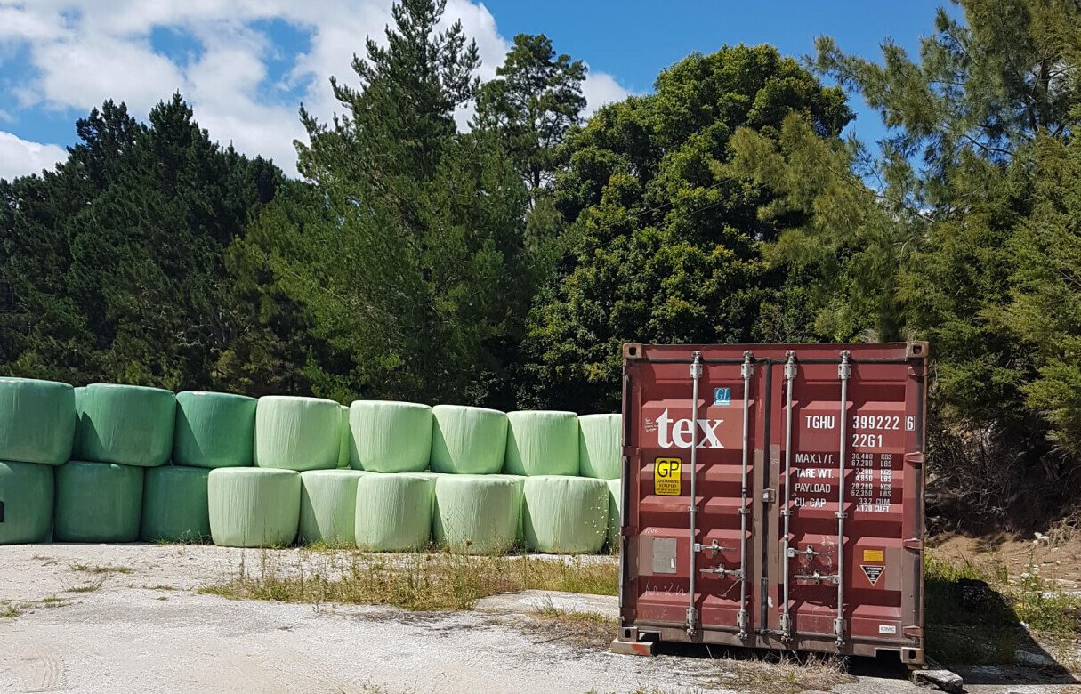
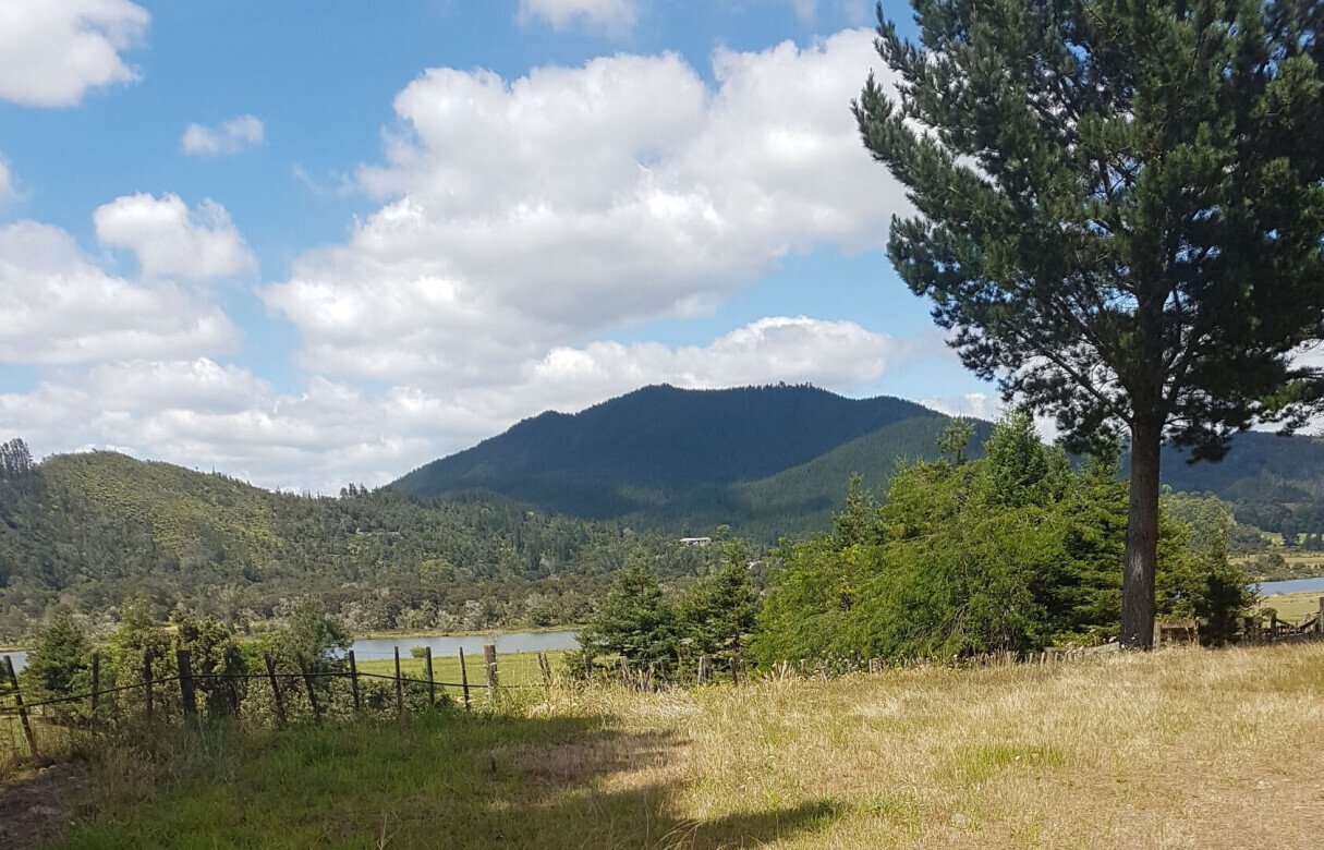
The Industrial land features a dwelling and multiple sheds which are associated with the timber mill. The Rural land is predominatly pastoral land used for grazing but also contains two ancillary sheds and an existing dwelling which will be retained. The sites have typically flat to gentle rolling topography with some light vegetation. All Lots will retain their own frontage to State Highway 25 and will utilise the existing vehicle crossings which are well formed and do not require upgrades.
The sites are subject to Coastal Inundation. Lot 3 is vacant and features some land which is not subject to coastal inundation where a future house site can be safely construsted, but is not the intention of the applicant. Lots 1 & 2 (Industrial) have existing buildings and are only partially subject to Coastal Inundation.
By improving the lot layout and aligning the boundaries to the confines of the relevant zones, this will help to mitigate any reverse sensitiviy effects which may currently exist.
Frequently Asked Questions
What is a boundary relocation subdivision?
A boundary relocation subdivision adjusts existing property boundaries between adjoining titles without creating additional lots, allowing the boundaries to better reflect planning zones or existing land uses.
Why align property boundaries with zoning boundaries?
Aligning lot boundaries with zoning boundaries can create clearer separation between different land uses and reduce potential conflicts between industrial and rural activities.
Does a boundary relocation subdivision create new development rights?
Not necessarily. A boundary relocation can simply rearrange existing land between titles without creating additional lots or granting new development rights.
Can existing buildings remain after property boundaries are adjusted?
Existing dwellings, sheds, and other structures can generally remain where the proposed boundary arrangement accommodates them and complies with the relevant planning and subdivision requirements.
What is reverse sensitivity in a mixed industrial and rural area?
Reverse sensitivity occurs when a sensitive activity, such as a dwelling, is affected by established activities nearby, such as industrial operations, potentially leading to complaints or pressure to restrict those existing activities.
How can boundary changes help manage reverse sensitivity?
Placing industrial and rural land more consistently within their respective zones can create clearer land-use separation, helping reduce potential reverse sensitivity effects between established activities.
