Projects
Three Lot Residential Subdivision
Creating 2 vacant lots and 1 lot around the existing dwelling.
 Back to Projects list
Scope of Work:
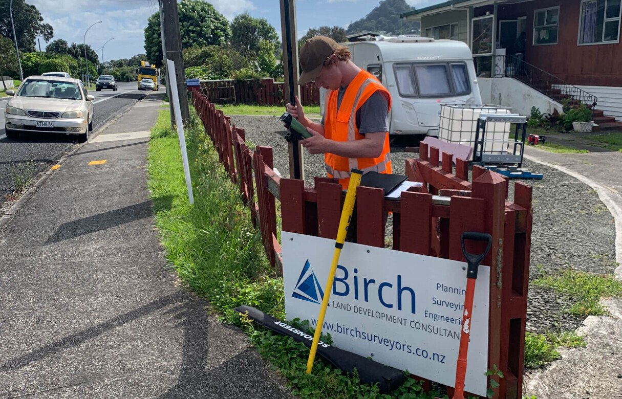
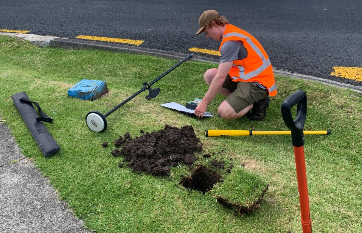
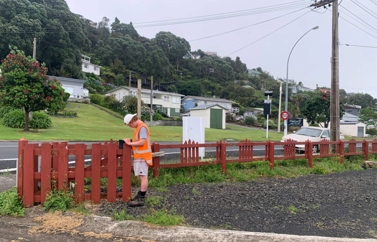
Topographical survey to ascertain data in which a subdivision scheme plan can be formulated to support a subdivision consent application
Locality:
Tairua Branch
Key person:
Tim Simons & Kevin He


Three Lot Residential Subdivision
Creating 2 vacant lots and 1 lot around the existing dwelling.
This Three Lot Residential Subdivision in Tairua creates two new vacant lots alongside an existing dwelling, providing fully serviced residential sites that maintain the area’s character and support local housing growth.
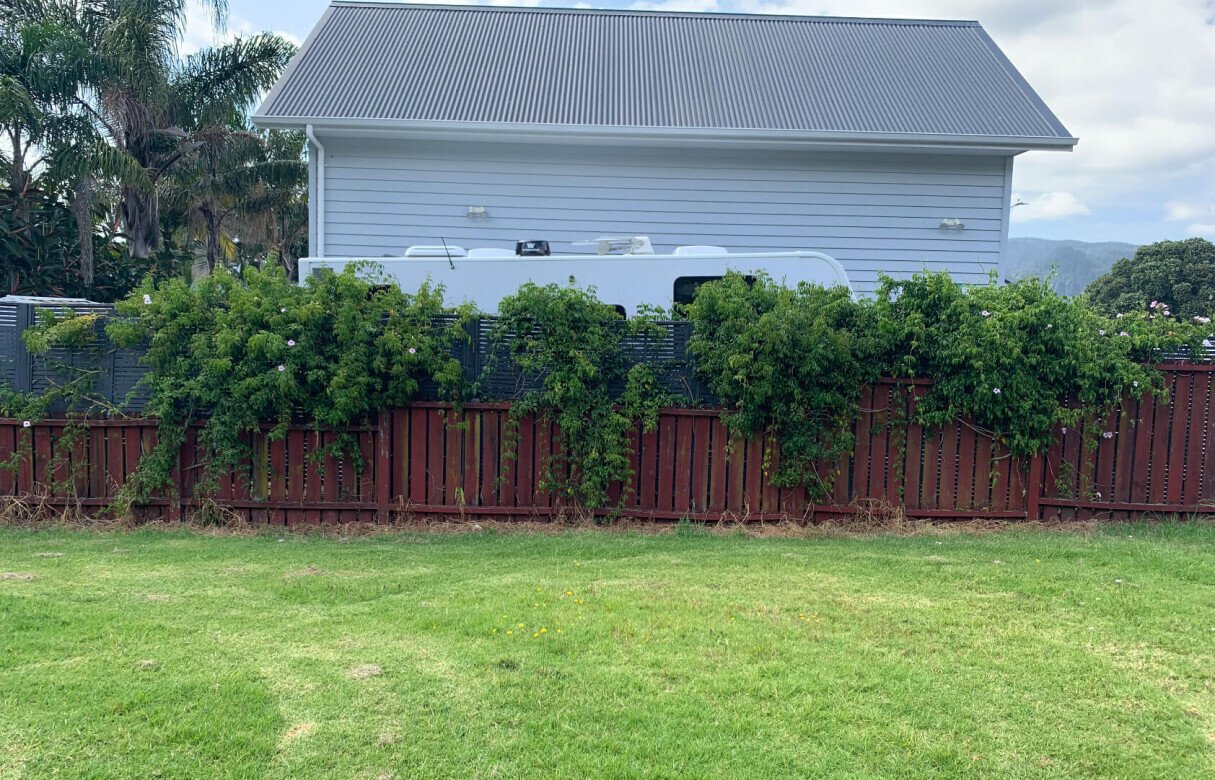
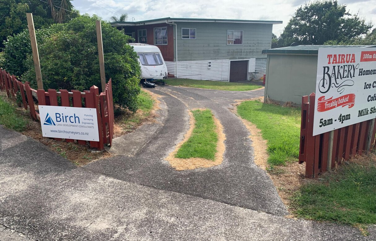
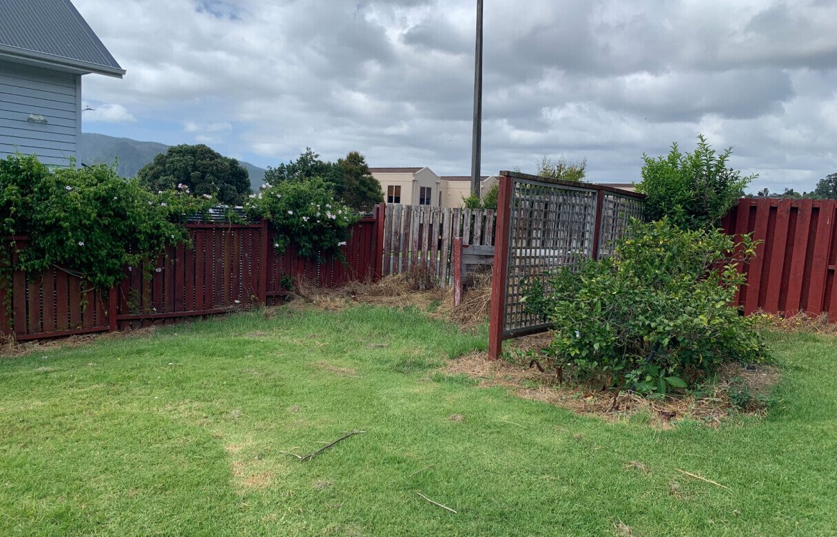
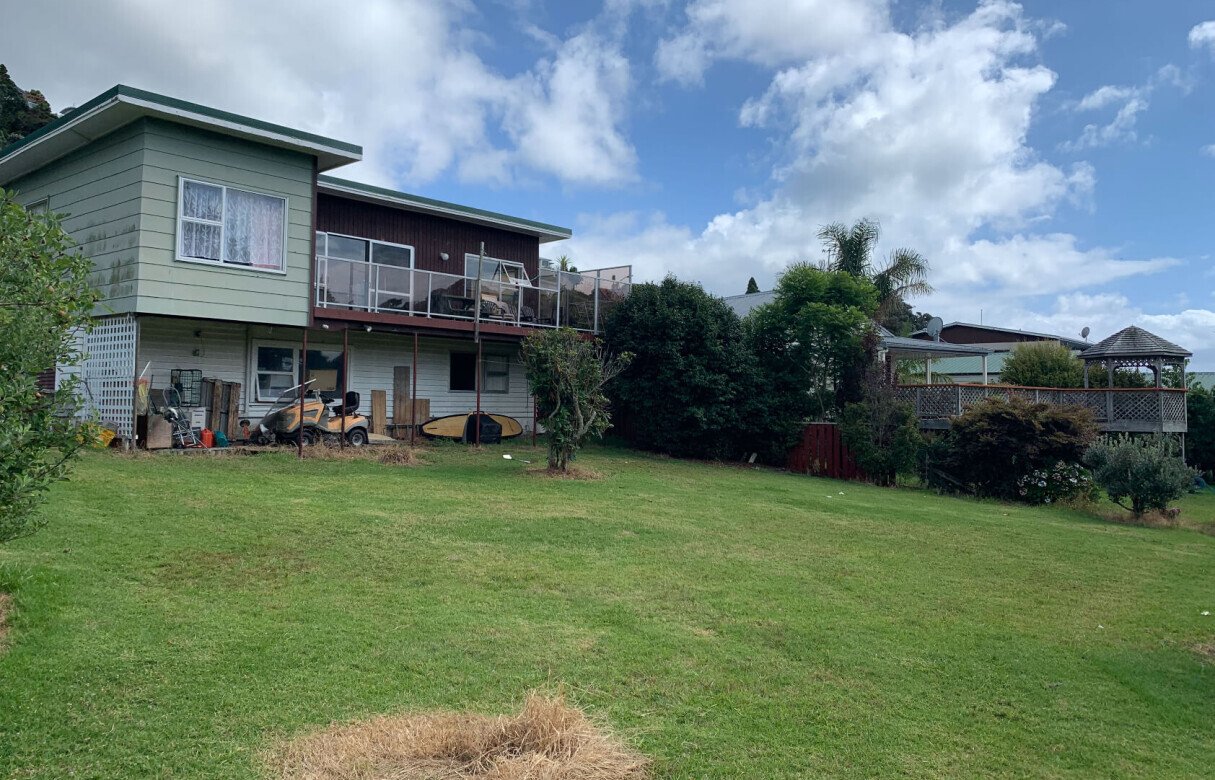
Two new vacant, Residential Zoned lots will be created (proposed Lots 2 & 3) along with a proposed Lot 1 which contains the existing dwelling and vehicle access. Lots 2 & 3 will require new vehicle crossings to service them. The lots feature a gentle south-easterly slope with some ancillary sheds and has minimal vegetation scattered among the predominantly grassed site.
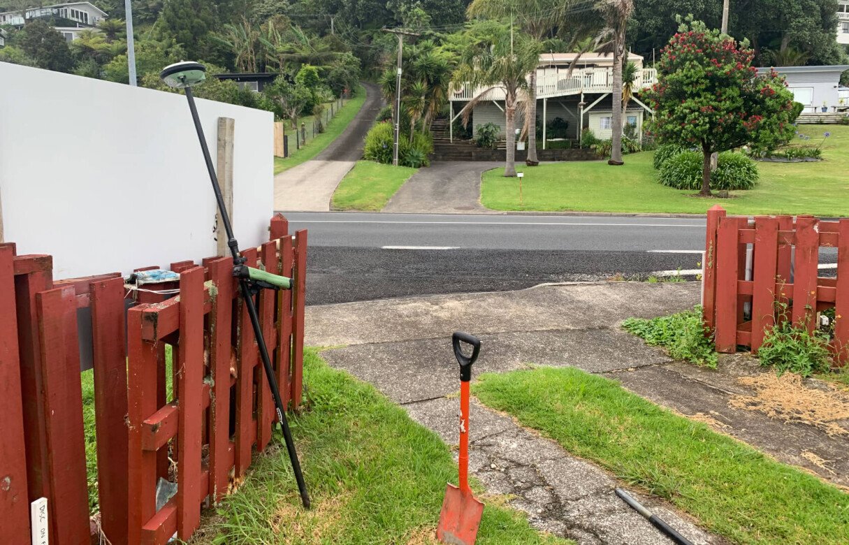
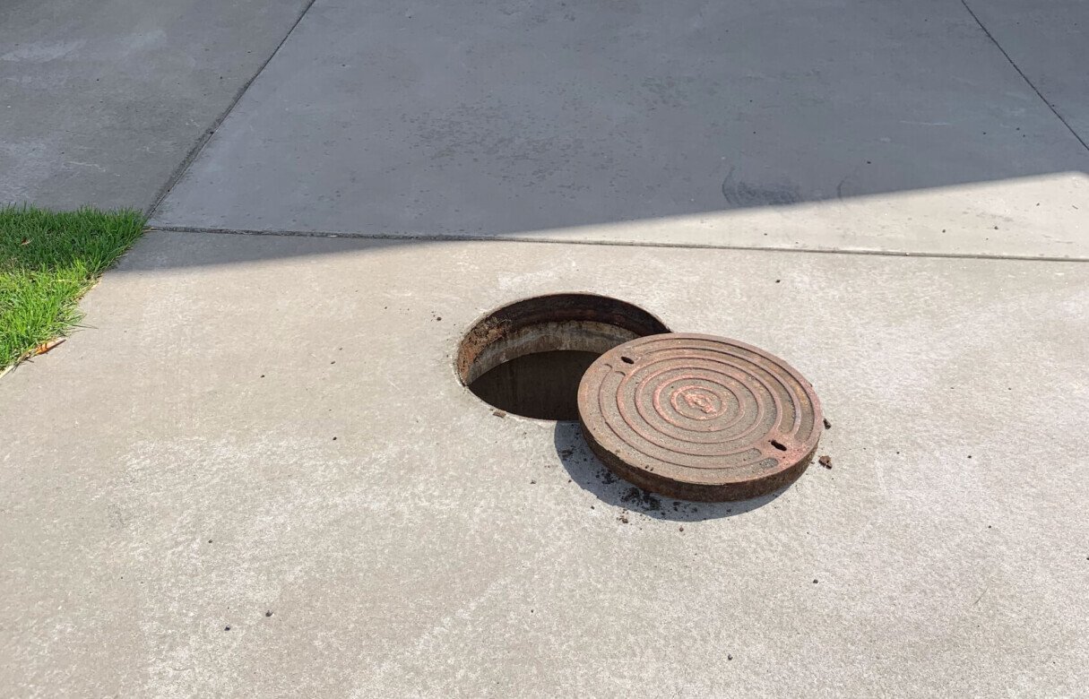
All lots will have direct road frontage so water, power and telecommunication connections can be directly obtained to the existing infrastructure. New easements will need to be created to allow for drainage rights to Lots 2 & 3 and public wastewater lines will need to be extended. All lots have a net site area greater than the 500m² minimum requirement. Lots 2 & 3 have enough space to accommodate a 15m diameter shape factor circle. The site is not subject to any inundation, erosion, subsidence or slippage and any future development constructed on the lots will be subject to the residential development controls.
The subdivision is located, designed and implemented to provide for activites typical of the zone while maintaining the amenity, character and heritage values of the surrounding landscape. This subdivision will benefit the district by providing further housing options in the residential area, in which the new occupiers will contribute to the community and local economy.
Frequently Asked Questions
What is a three-lot residential subdivision?
A three-lot residential subdivision divides a property into three separate residential titles. In this project, two lots are vacant while the third retains the existing dwelling.
What infrastructure is needed for new residential subdivision lots?
New residential lots may require connections for water, electricity, telecommunications, drainage, and wastewater, depending on the availability and capacity of existing infrastructure.
Why are easements needed in a residential subdivision?
Easements can provide legal rights for services such as drainage or wastewater to cross another property, ensuring the relevant lots can access and maintain essential infrastructure.
What is a shape factor circle in subdivision planning?
A shape factor circle is used to demonstrate that a proposed residential lot has sufficient usable area to accommodate a practical building site while meeting applicable planning requirements.
Do new subdivision lots need their own vehicle access?
Where required, each new residential lot may need a suitable vehicle crossing or access arrangement connecting the property to the public road network and meeting local standards.
How can a residential subdivision benefit the local community?
Creating additional serviced residential lots can increase local housing options while allowing new residents to contribute to the surrounding community and support the local economy.
