Projects
Scope of Work:
Site survey on coastal setting
Completion:
7th February 2019
Locality:
Pukekohe Branch
Key person:
Kevin Birch
Topographic Survey for Seawall
Topographical Survey
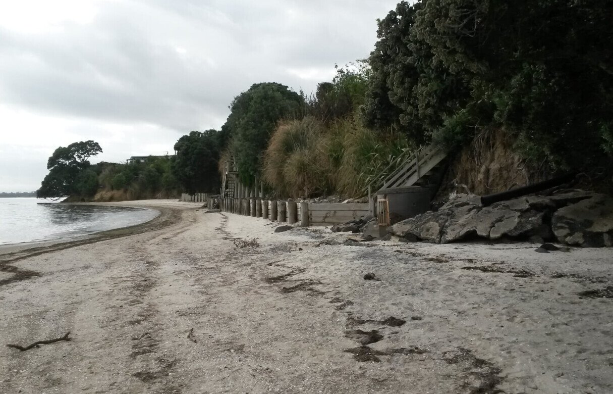
This project represented a challenging topographical survey of a coastal property on the Manukau Harbour. The area had over many years been subject to erosion of the cliffs adjoining residential properties. Many properties had had seawalls constructed to combat this issue with varying success. On many sites mature Pohutakawas had grown along the cliffs and this had assisted in stabilizing the steep slopes.
Working with an Engineering firm, we were asked to undertake a detailed topographical survey of the land from below High Water, up the cliffs and to the houses. This included details of staircases, retaining walls, the roots of the Pohutakawas, as well as Mean High Water and the adjacent coastal margin. The purpose of the survey was to provide detailed site information for the design of a seawall. A similar survey had been undertaken on another nearby property.
The challenges included the complexity of the site, loss of GPS coverage adjacent to the Pohutakawas, managing the survey around high tides, and the limited space to carry out the survey.


